


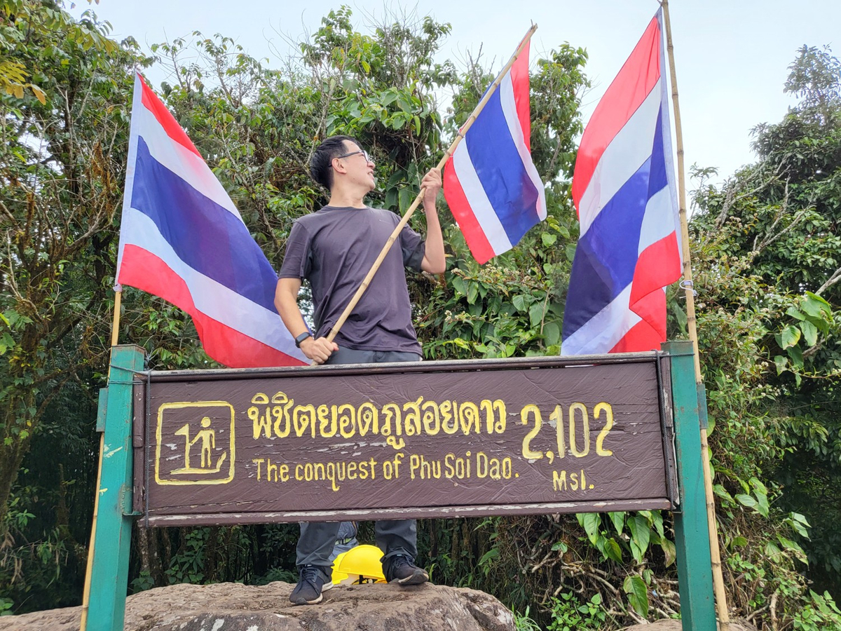
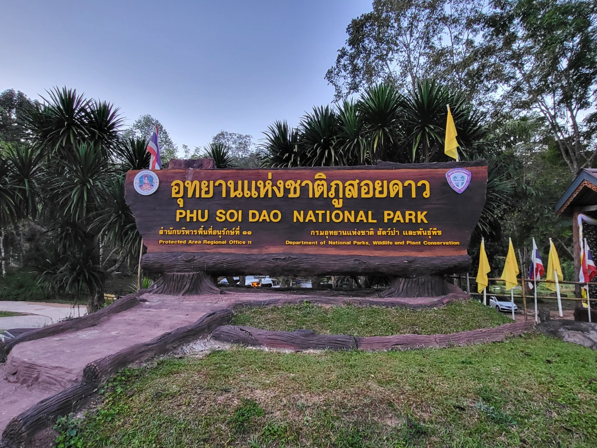
พิชิตยอดภูสอยดาว ความสูง 2,102 เมตรจากระดับน้ำทะเลปานกลาง เป็นอีกสถานที่ที่เราอยากขึ้นมาสักครั้งตั้งแต่การขึ้นลานสนภูสอยดาวครั้งแรก เมื่อ 13 ปีก่อนแล้ว แต่ก็มีอันขยับ เลื่อน จนเริ่มแก่ เข่าเริ่มไม่ดีแล้วถึงได้มีโอกาสได้ขึ้นมาชม ทริปนี้เดินทางออกจากกรุงเทพฯ คืนวันที่ 8 ธันวาคม อยู่บนลานสน 9-11 ธันวาคม 2565 เริ่มต้นทริปเราใช้บริการรถของพี่จ่าเอ๋อีกครั้ง แต่รอบนี้เป็นรถตู้เริ่มจาก BTS หมอชิต ไปอุทยานแห่งชาติภูสอยดาว และกลับมาส่งที่ BTS หมอชิต

รถตู้จอยออก 4 ทุ่ม ต้องชมคนขับเลย ขับรถดี นอนหลับได้สบาย รถตู้จอดให้เข้าห้องน้ำ และจอดให้ซื้อของที่ตลาดสดเทศบาลป่าแดง อำเภอชาติตระการ เราซื้อแต่หมูปิ้งและข้าวเหนียว เมื่อทุกคนซื้อของที่ต้องการเรียบร้อยแล้วก็มุ่งตรงไปที่อุทยานแห่งชาติภูสอยดาว รถจะจอดให้ชำระค่าเข้าอุทยานฯ และตรวจสอบรายชื่อสำหรับคนที่จองผ่าน QueQ มาแล้ว ส่วนคนที่ยังไม่จองก็จะได้ลำดับคน walk-in ตามสัดส่วนที่ทางอุทยานฯ กำหนด (จองผ่าน QueQ 70% และ walk-in 30%) ดำเนินการเรียบร้อย ยังไม่ถึงเวลาที่ศูนย์บริการนักท่องเที่ยวเปิดก็เลยเดินเล่นถ่ายรูปกันสักนิด


ศูนย์บริการนักท่องเที่ยวเปิดก็เข้าไปติดต่อลงทะเบียนคนขึ้นลานสนและยอด 2,102 รับเต็นท์และเครื่องนอนที่เราอยากได้ ออกจากศูนย์บริการนักท่องเที่ยวแล้วมาต่อคิวชั่งสัมภาระที่เราจะฝากลูกหาบขึ้น จากนั้นไปกินข้าวก่อน หรือจะไปเริ่มเดินที่เส้นทางศึกษาธรรมชาติบริเวณน้ำตกภูสอยดาว
เส้นทางศึกษาธรรมชาติเพื่อขึ้นลานสนภูสอยดาวไปอ่านละเอียดที่กระทู้นี้ได้ ภูสอยดาวในม่านหมอก
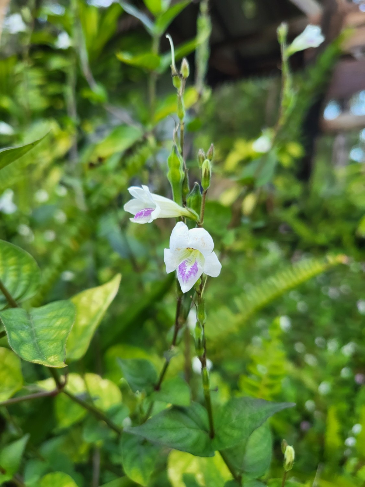
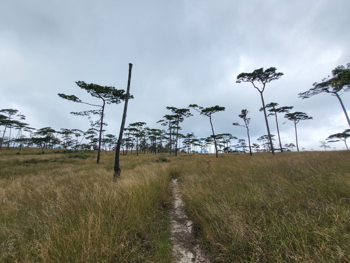
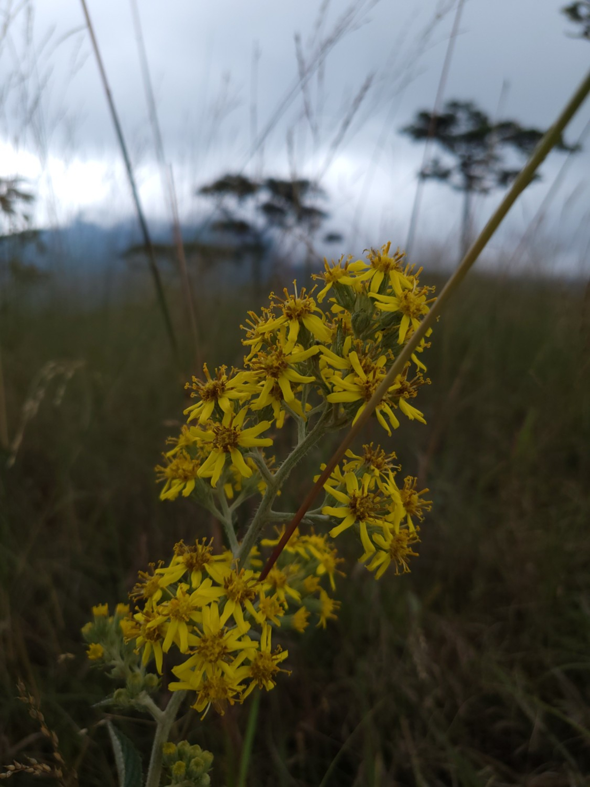
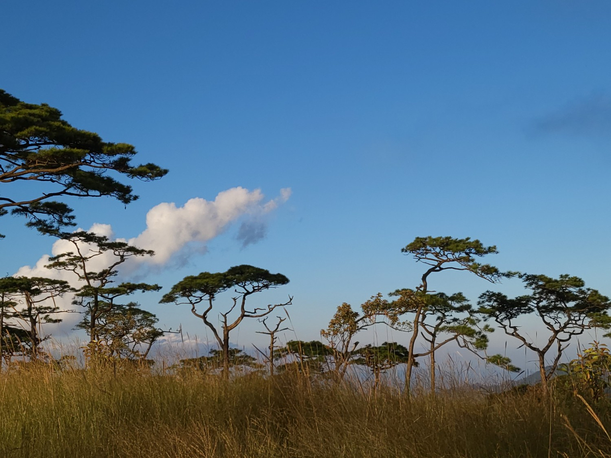
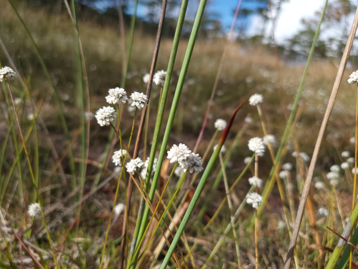
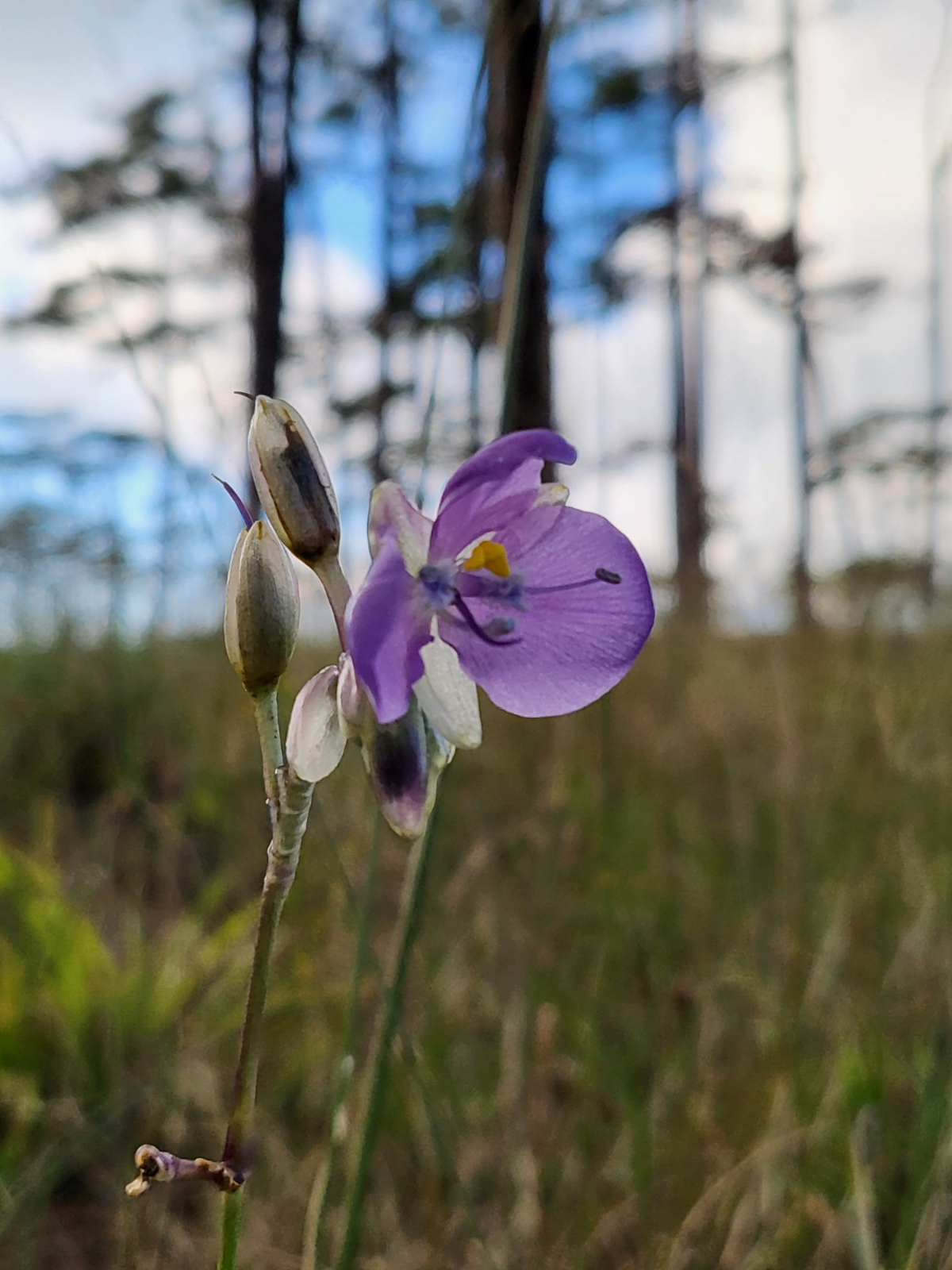
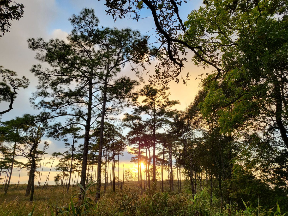
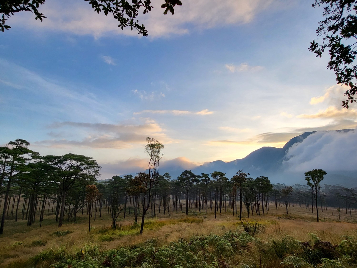
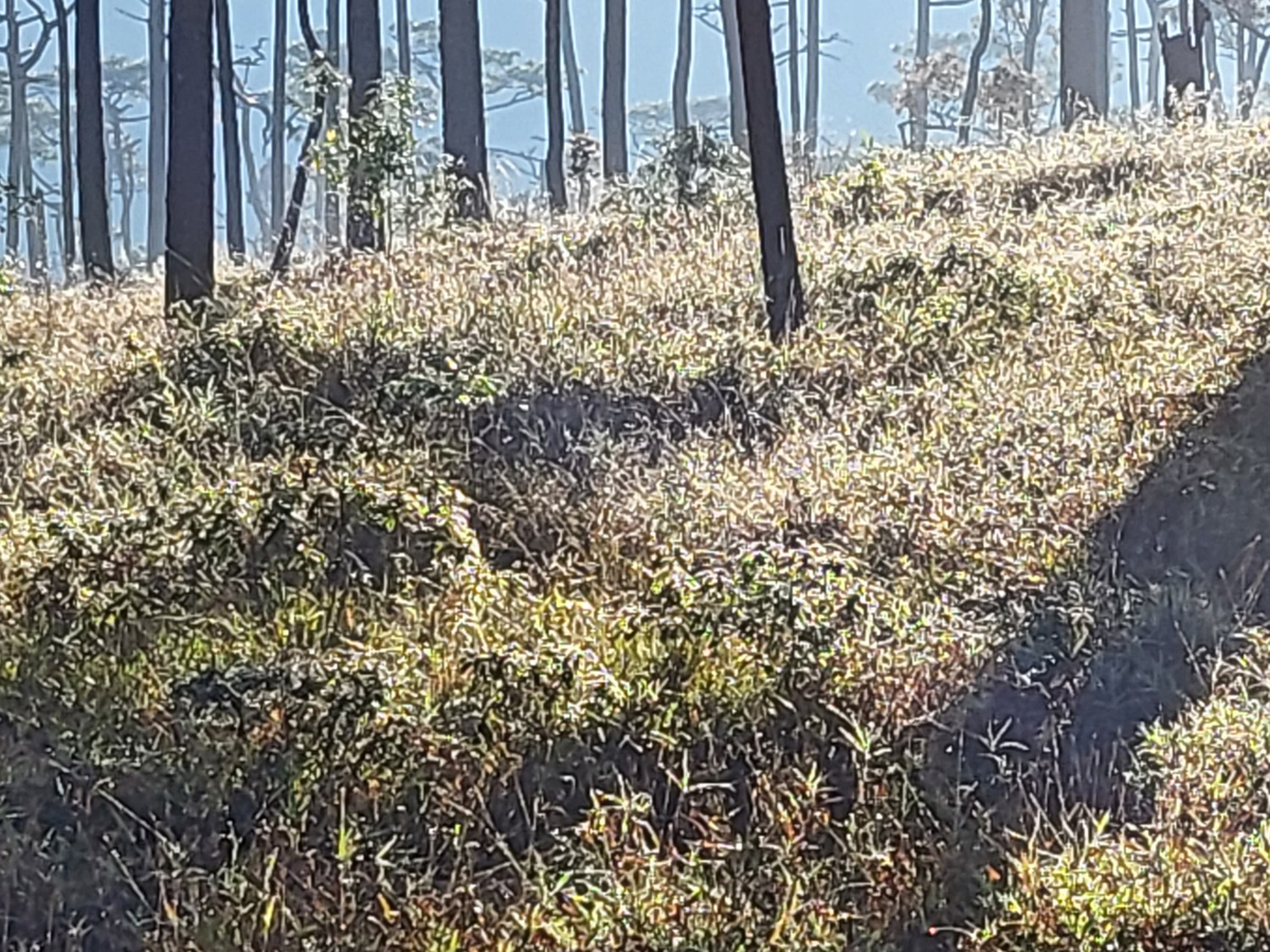
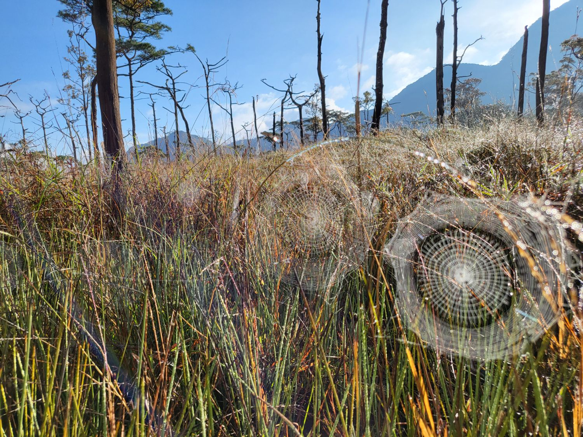
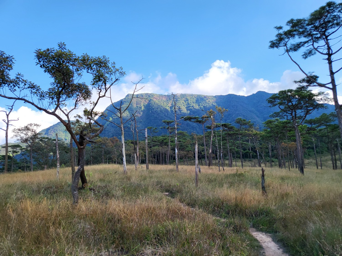
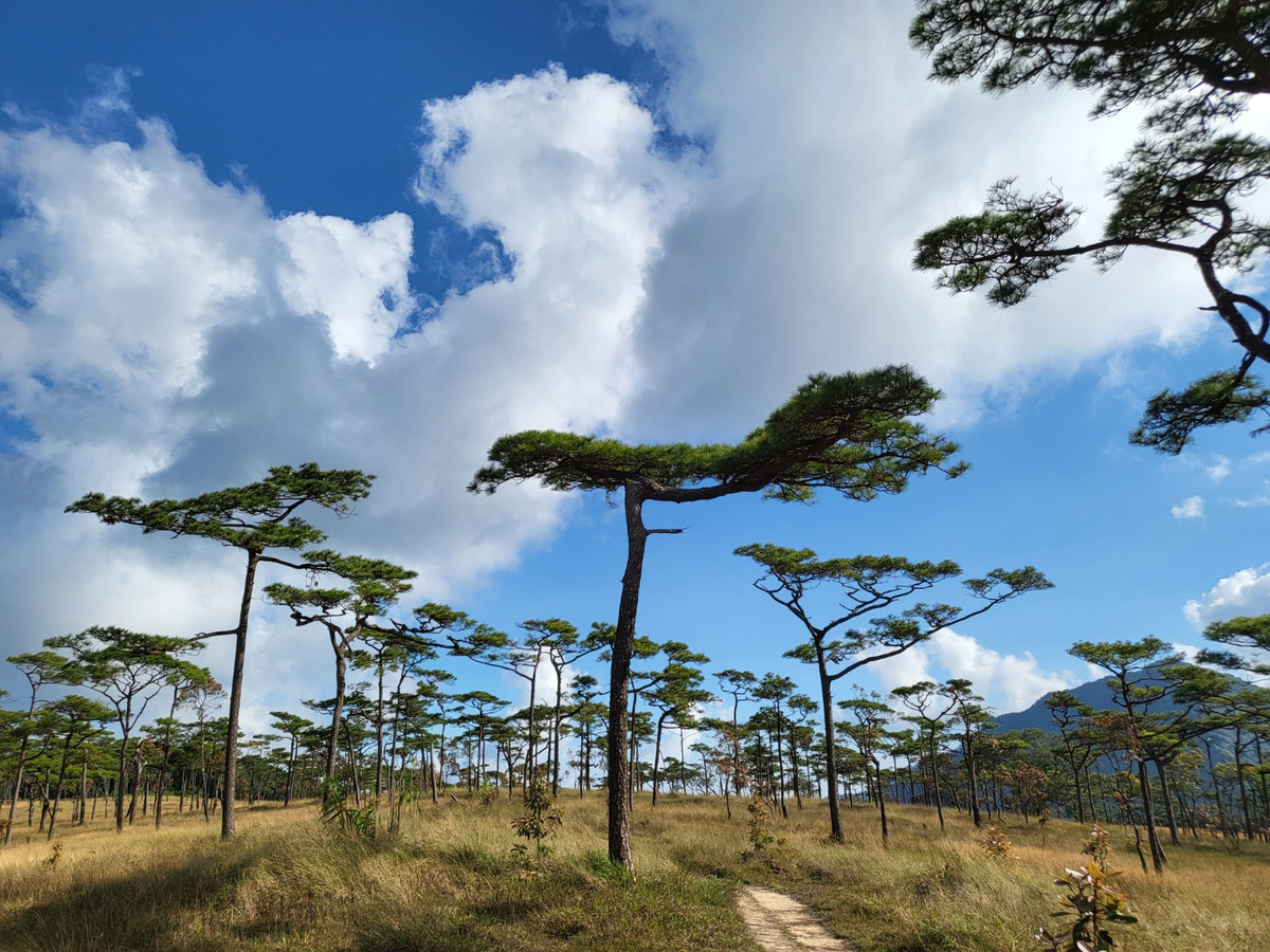
เส้นทางเดินขึ้นลานสนในฤดูหนาวจะแห้งกว่าฤดูชมดอกหงอนนาค ถึงลานสนไปติดต่อลงชื่อในสมุดของเจ้าหน้าที่ด้านบน รอบนี้รอของไม่นาน เต็นท์ได้รับความช่วยเหลือจากเจ้าหน้าที่กางให้บริเวณที่เป็นโครงเหล็กกันน้ำค้างและกันฝน จัดของเข้าเต็นท์เรียบร้อยก็ออกสำรวจลานสนในฤดูหนาวสักนิด
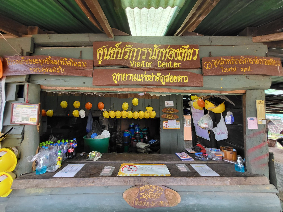
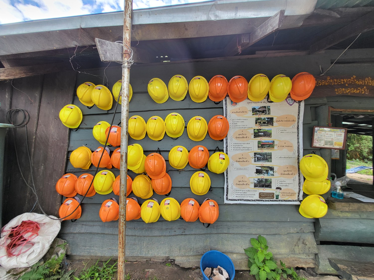
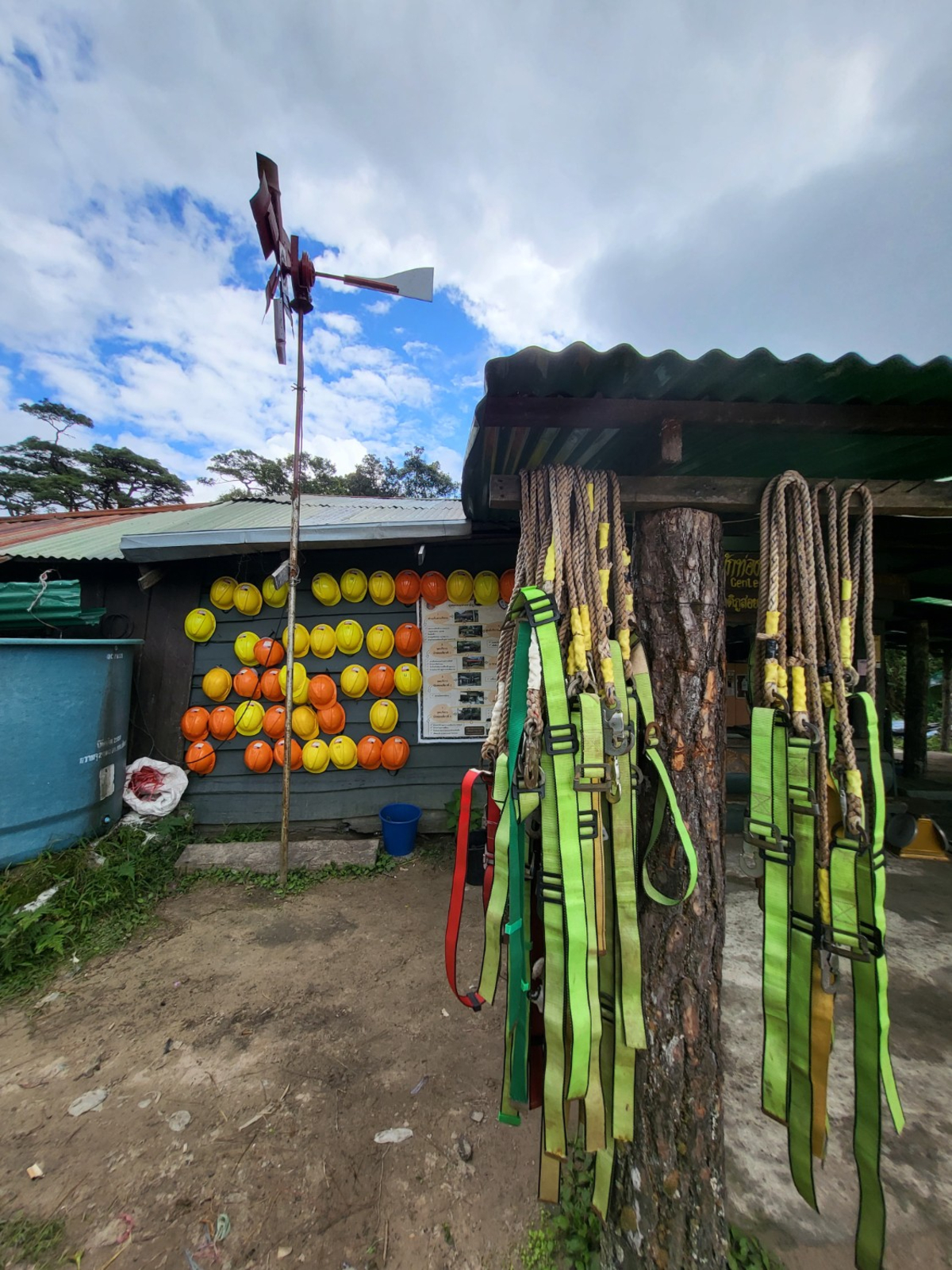
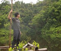
เดินย้อนกลับมาที่เต็นท์ มาที่ศูนย์บริการนักท่องเที่ยวบนลานสน ทางอุทยานฯ ได้จัดเตรียมอุปกรณ์เซฟตี้สำหรับขึ้นยอด 2,102 เมตรไว้ เลยกลายเป็นมุมถ่ายรูปที่สวยไปอีกแบบ
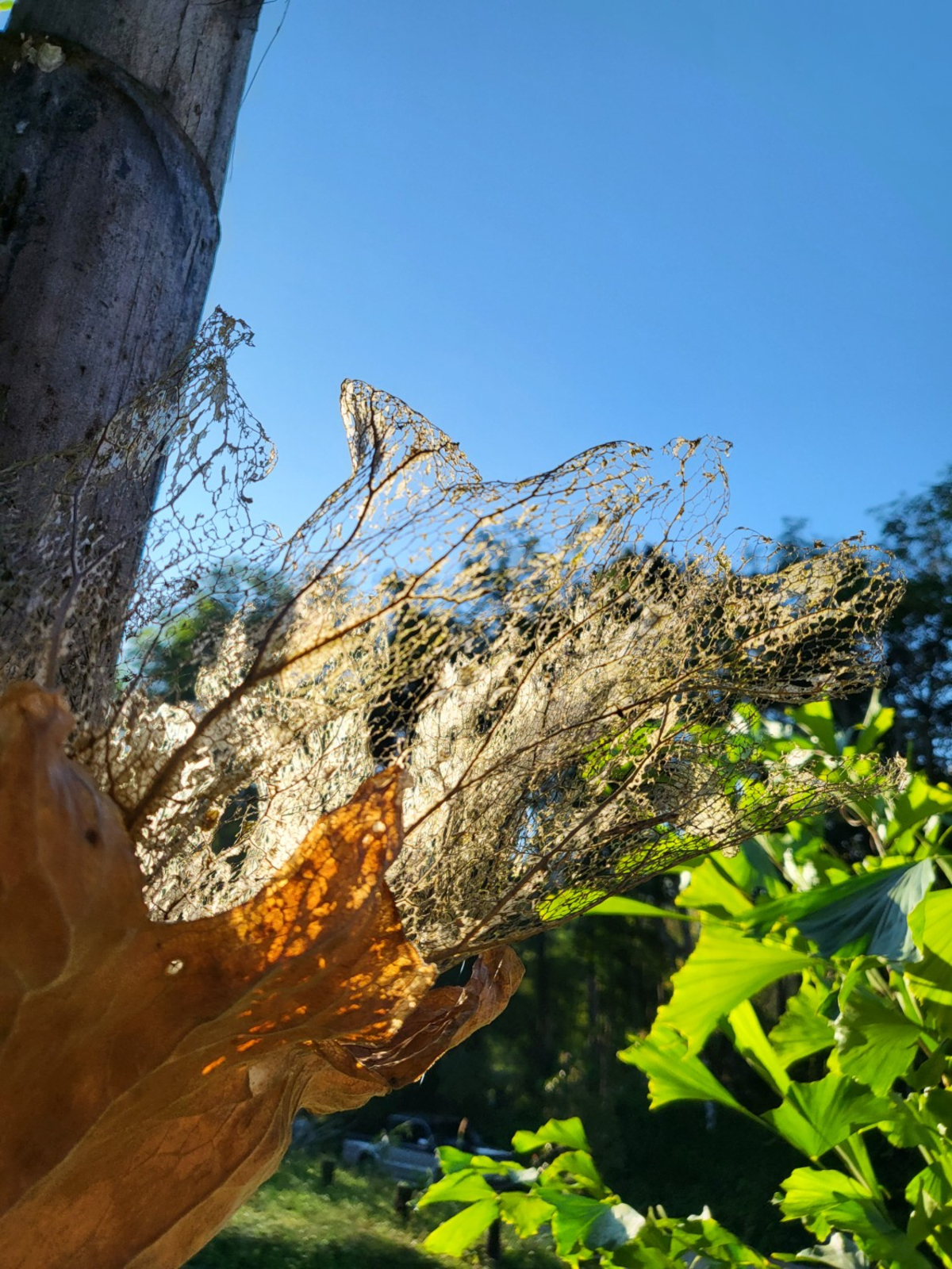
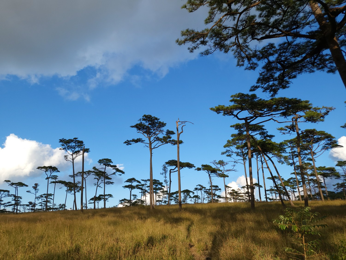
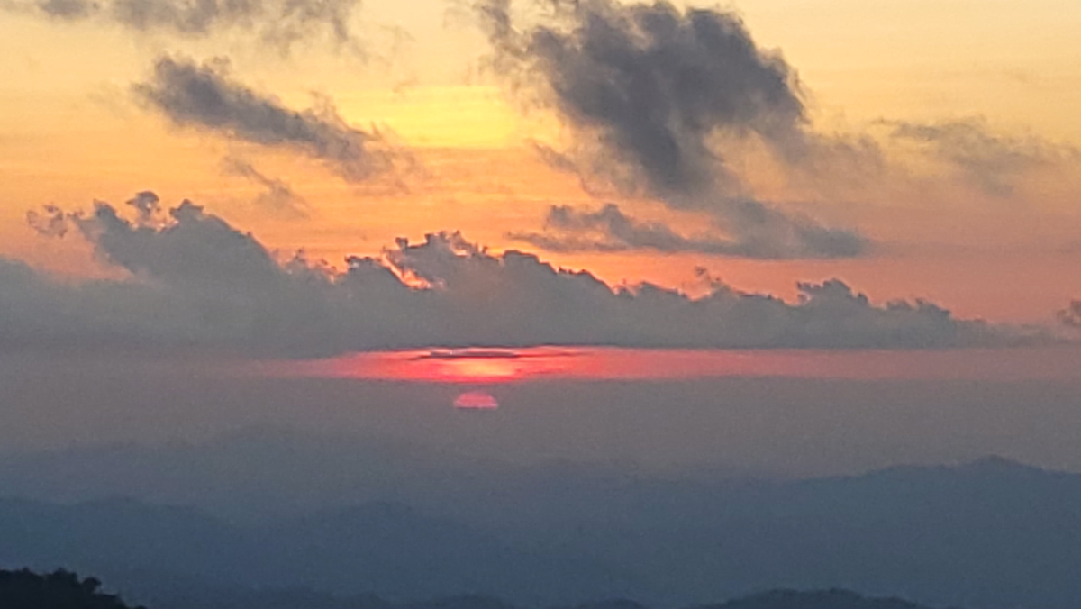
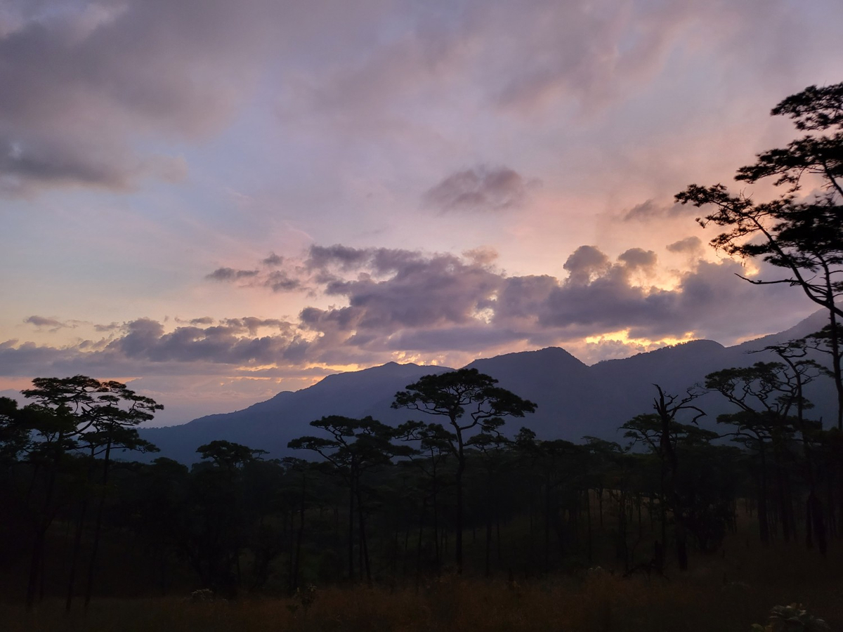
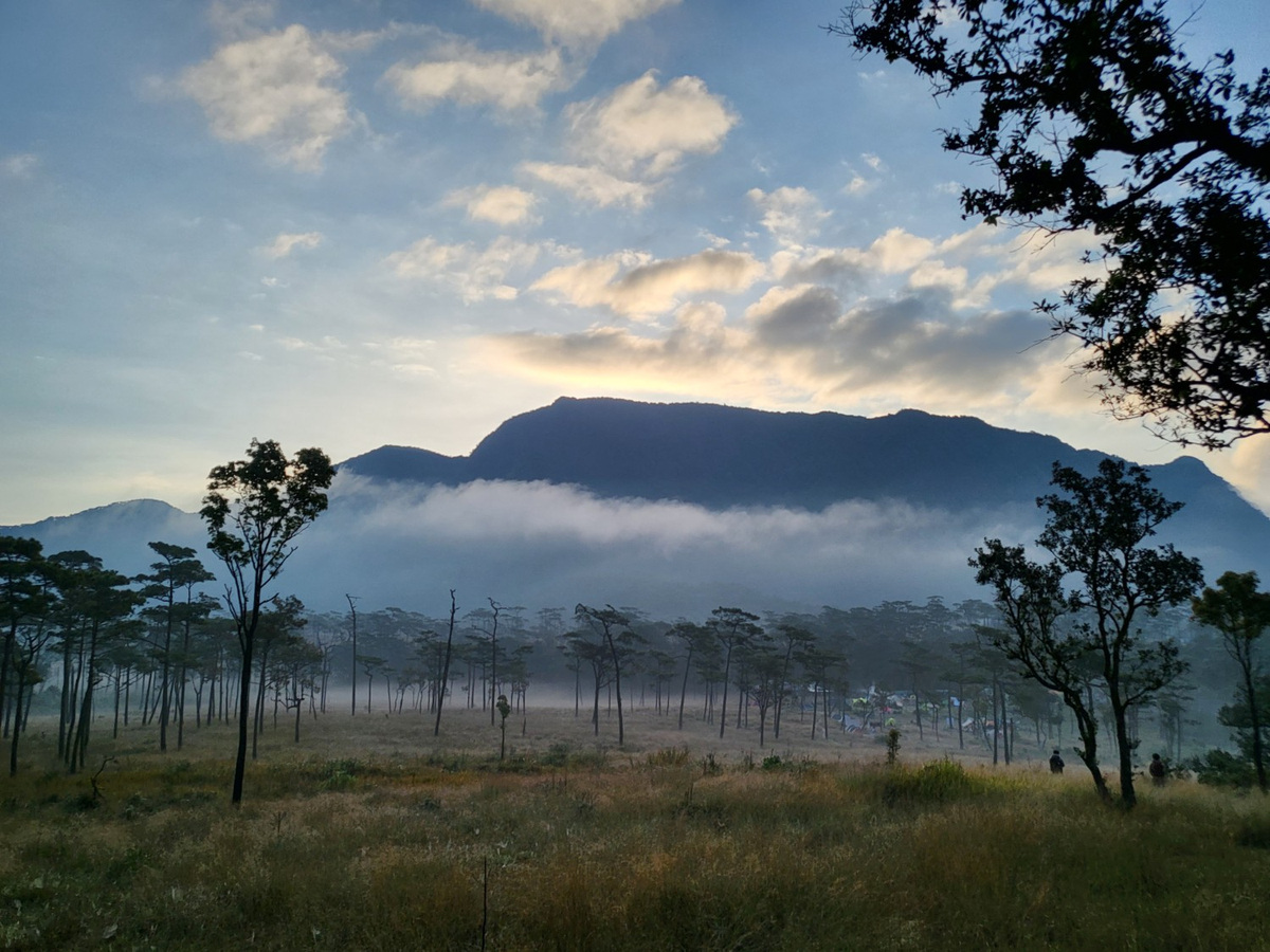
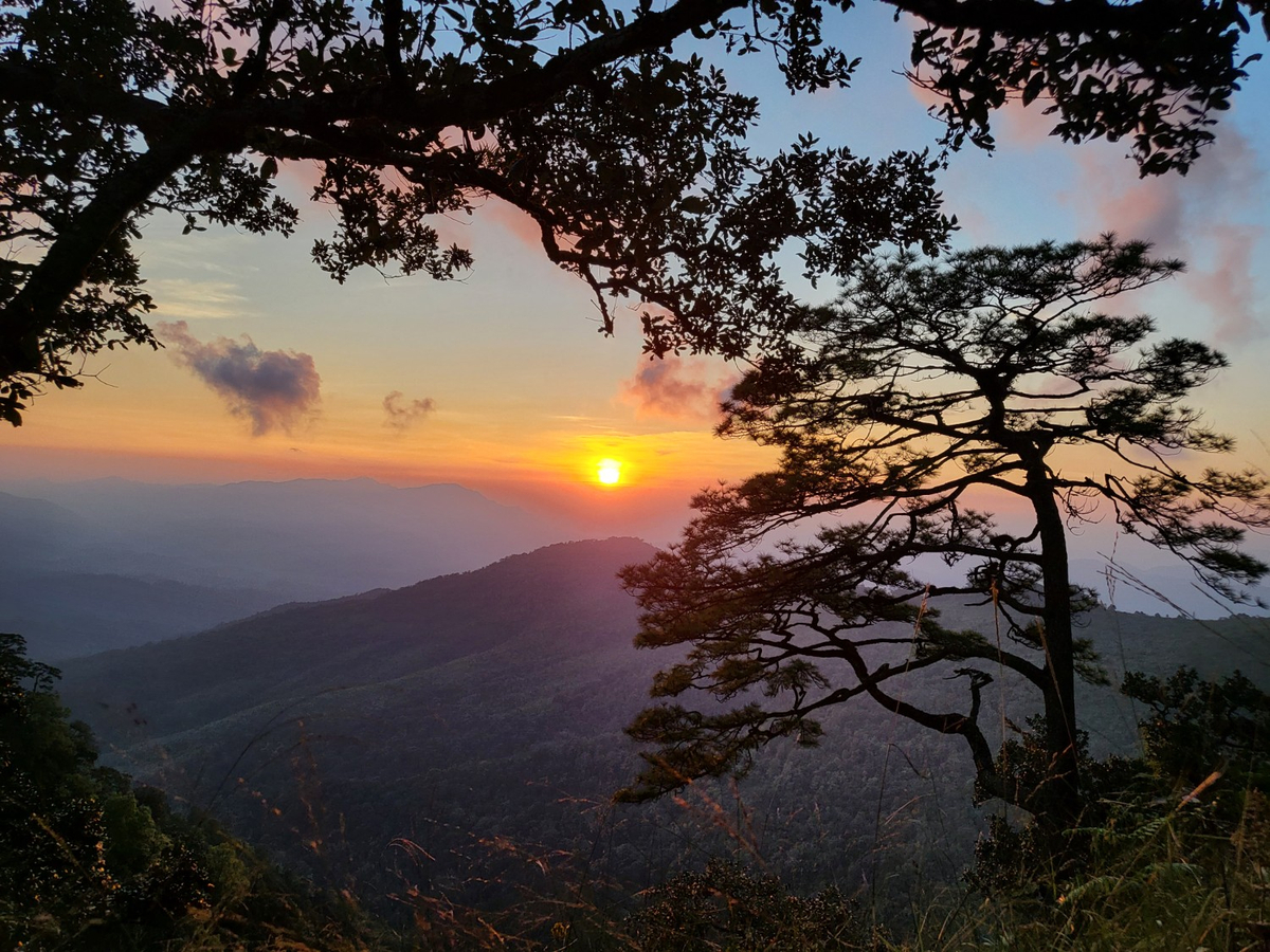
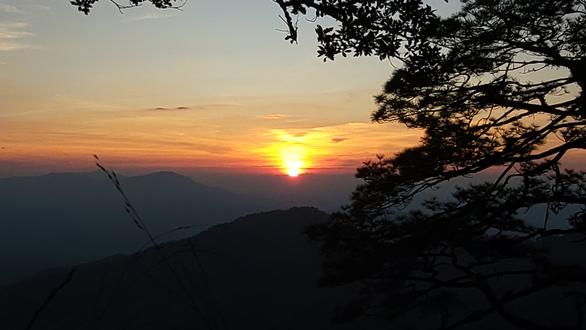
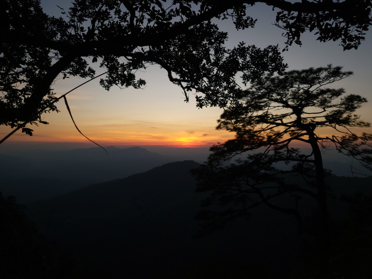
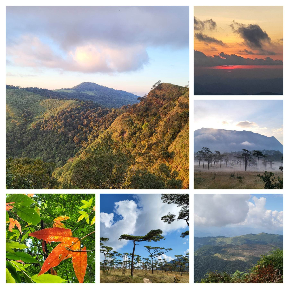
หลังจากเตรียมสถานที่ในการทำมื้อเย็นเรียบร้อย แสงเริ่มสวยก็ออกสำหรับลานสนอีกครั้งเพื่อหามุมถ่ายแสงเย็นกัน
ได้ภาพเก๋ๆ จากกล้องใหญ่ของคณะที่เราไปร่วมทริปด้วย
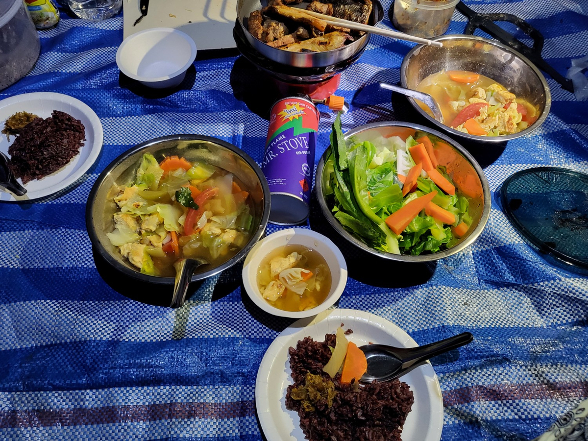
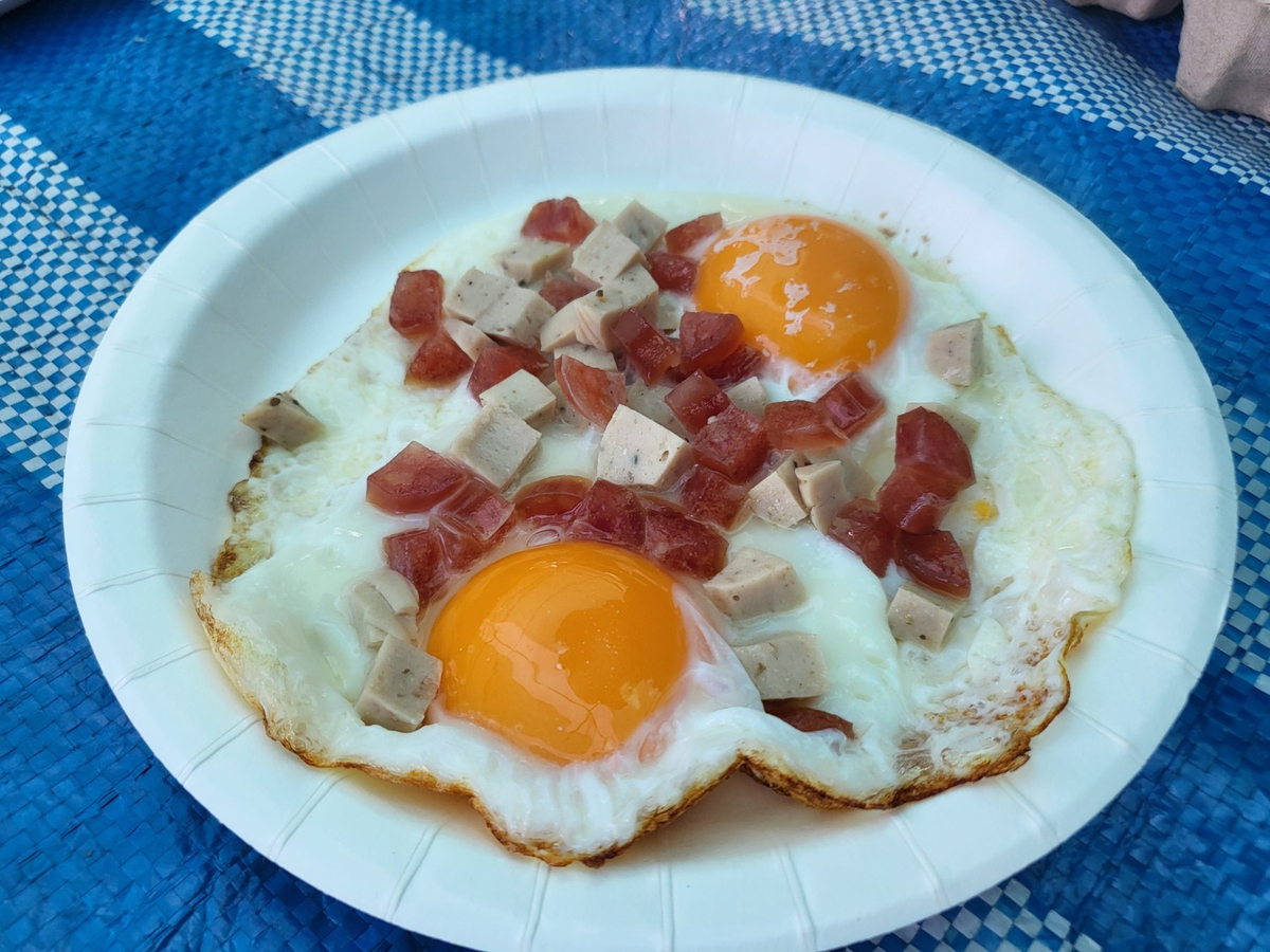
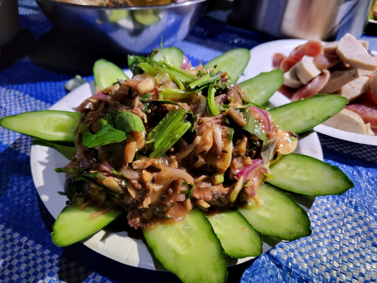
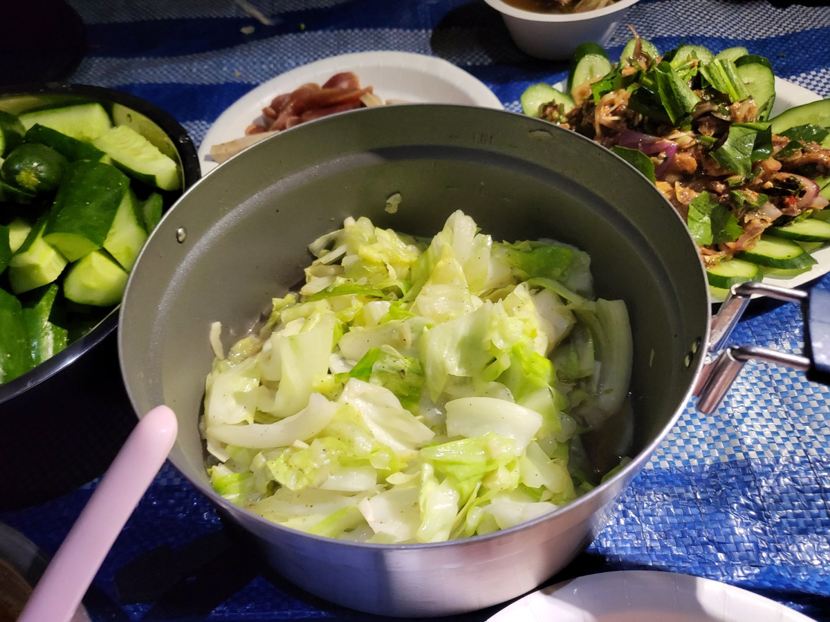
กลับมาที่เต็นท์ส่วนหนึ่งผลัดกันไปอาบน้ำ และทำอาหารเย็น ห้องอาบน้ำและสุขาที่นี่ต้องเอาถังไปหิ้วน้ำ ตอนนี้ไม่ต้องไปที่ลำธารแล้ว มีแท้งค์น้ำใกล้ๆ ห้องน้ำเลย สะดวกขึ้น มื้อเย็นท่ามกลางอากาศหนาว กินไป คุยไป สนุกมาก ไปกับคณะนี้อาหารการกินอุดมสมบูรณ์มาก
หลังจากอิ่มและเริ่มหนาวมากแล้วก็มุดเข้าเต็นท์ แยกกันไปนอนเอาแรงสำหรับขึ้นยอด 2,102 ในวันรุ่งขึ้น
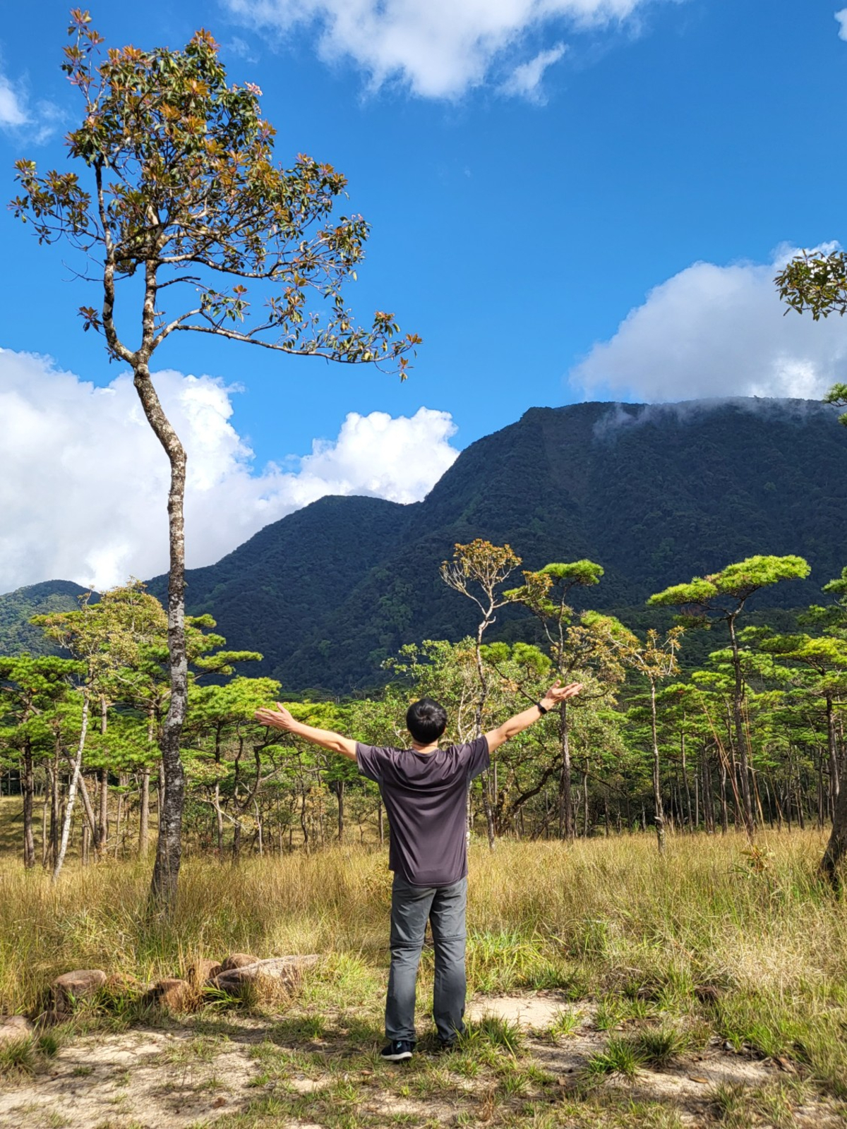
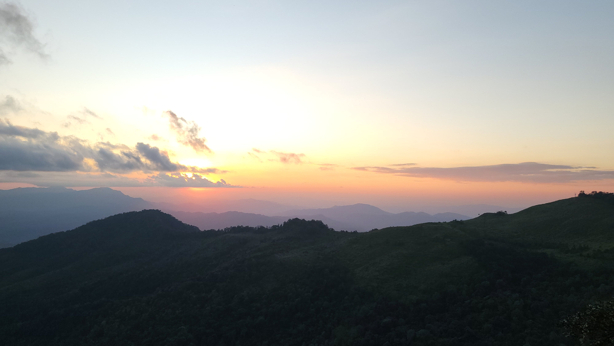
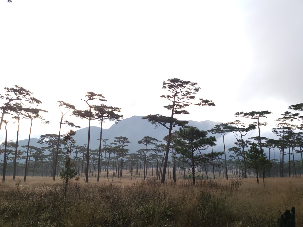
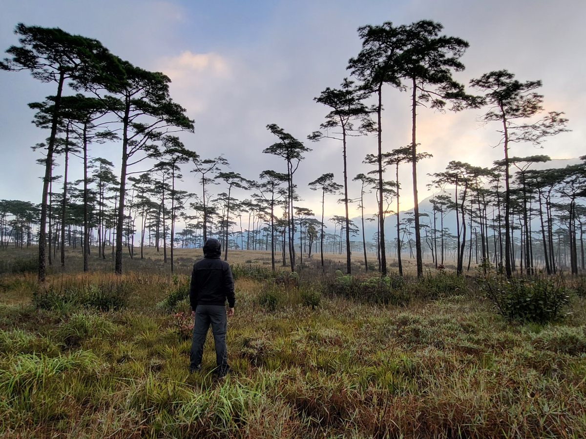
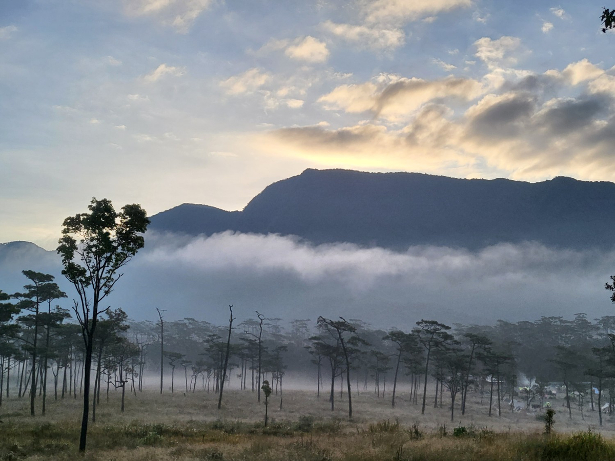
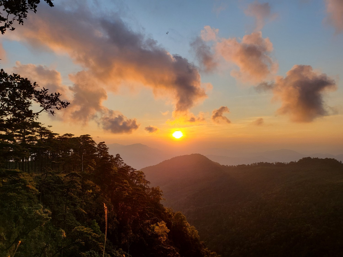
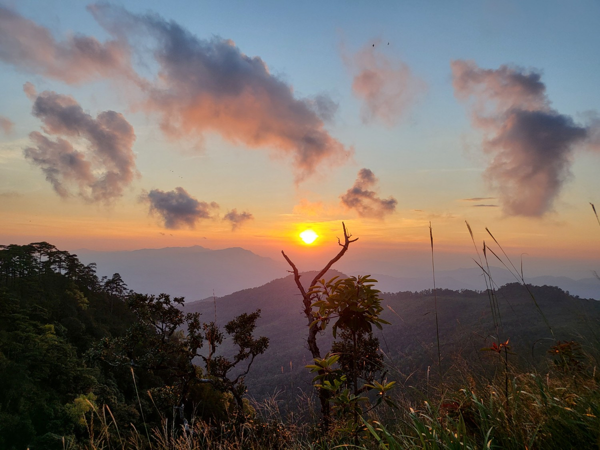
ตื่นเช้ามาได้สอบถามเจ้าหน้าที่แล้วว่าจะเริ่มเดินขึ้นยอดกันยังไง ได้ความว่าจะแบ่งเป็น 3 กลุ่ม กลุ่มแรกเริ่มเดิน 7 โมงเช้า กลุ่มที่ 2 เริ่มเดิน 7:30 และกลุ่มสุดท้ายที่คณะเราเลือกเริ่มเดิน 8 โมง มีเวลาเหลือเยอะก็ออกไปรอถ่ายอาทิตย์ขึ้นกันก่อน ลานสนในฤดูหนาวสวยไปอีกแบบจริงๆ
กลับมาทำมื้อเช้าง่ายๆ (ของคนทำอาหารเก่งที่ไม่ใช่เรา)
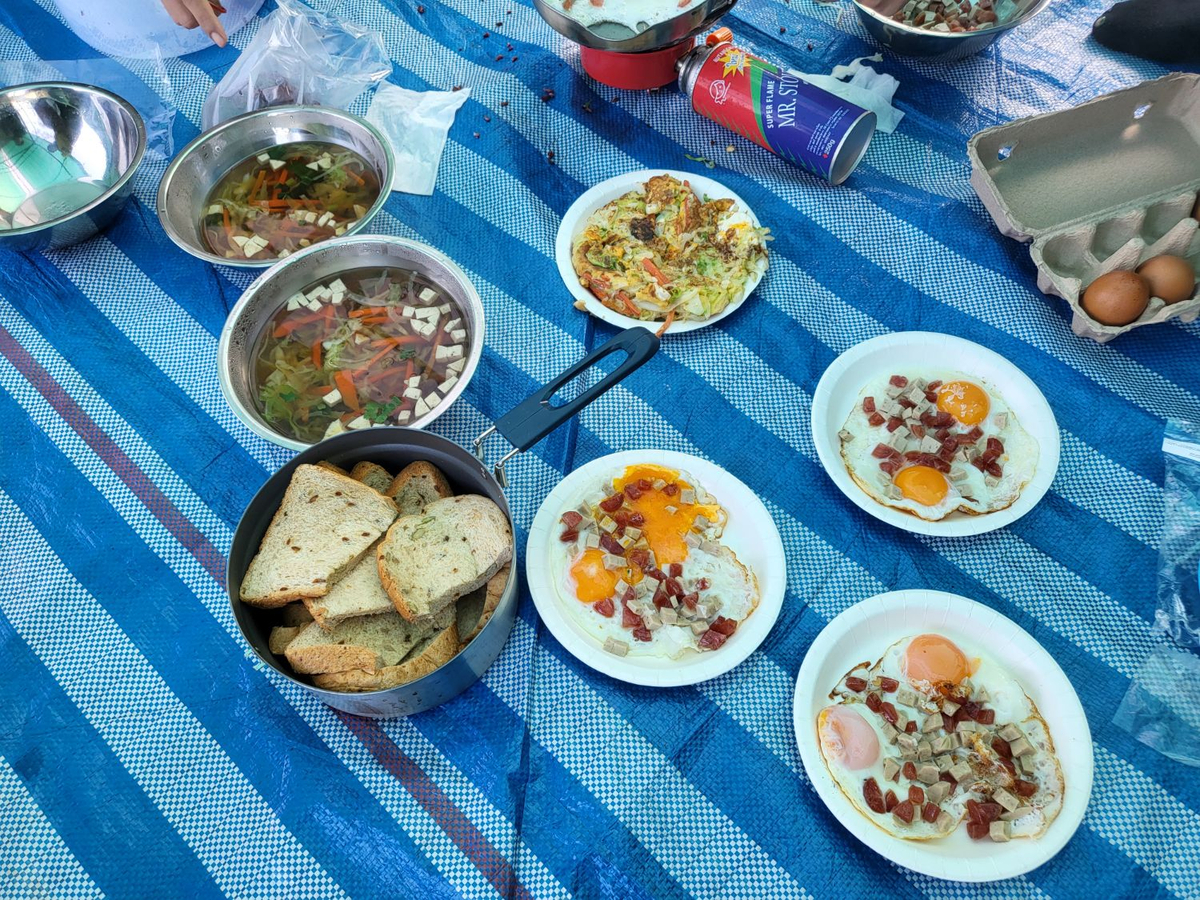
พออิ่มก็รีบแจกอาหารสำหรับมื้อเที่ยงเสร็จ ก็ไปยืนฟังเจ้าหน้าที่อธิบายรายละเอียดการเดินขึ้นยอด ระยะทาง 2 กิโลเมตรเท่านั้น เริ่มเดิน 8:12 เริ่มต้นสนุกมาก ทั้งคณะเราและน้องๆ อีกกลุ่มหนึ่ง
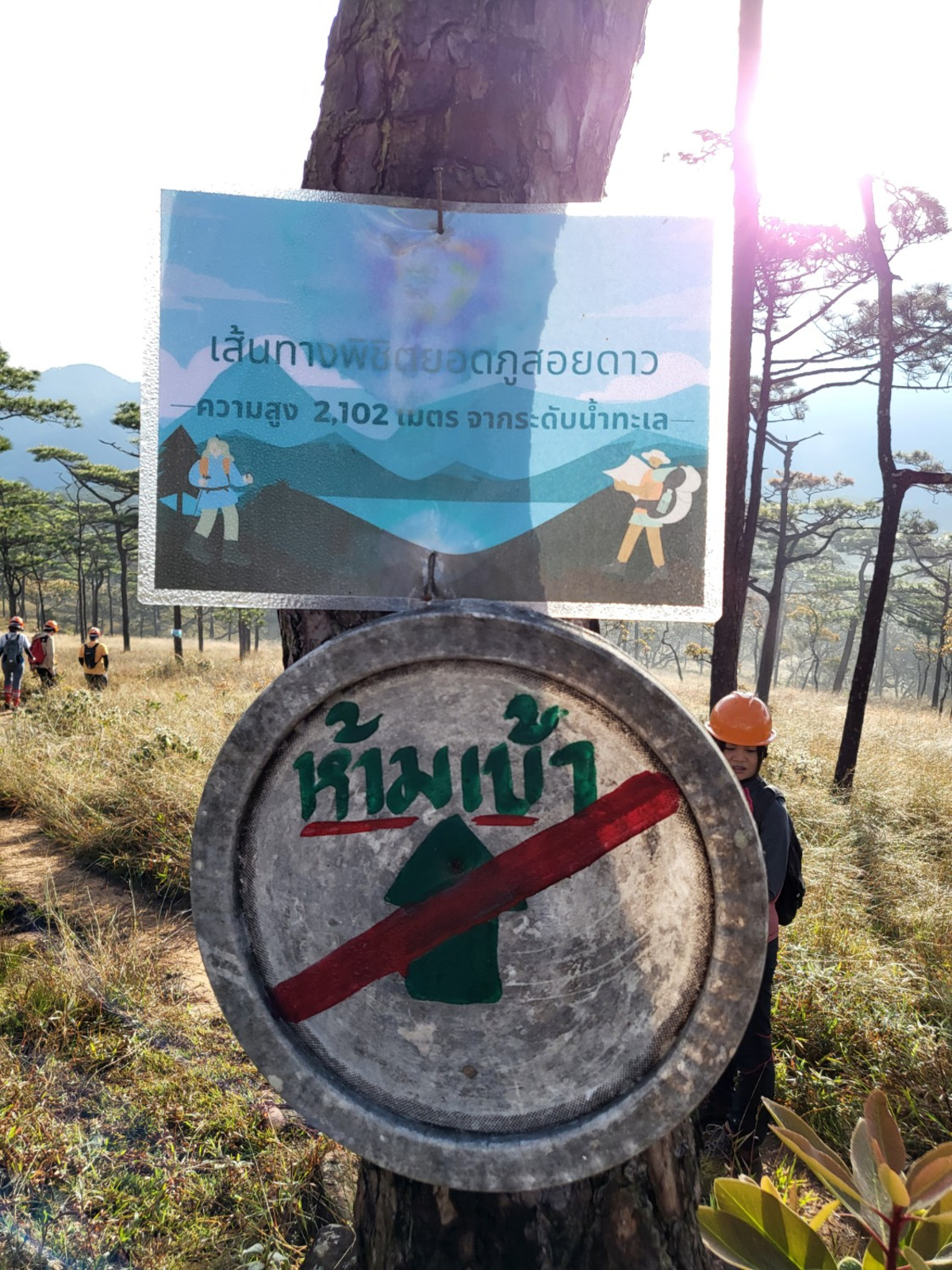
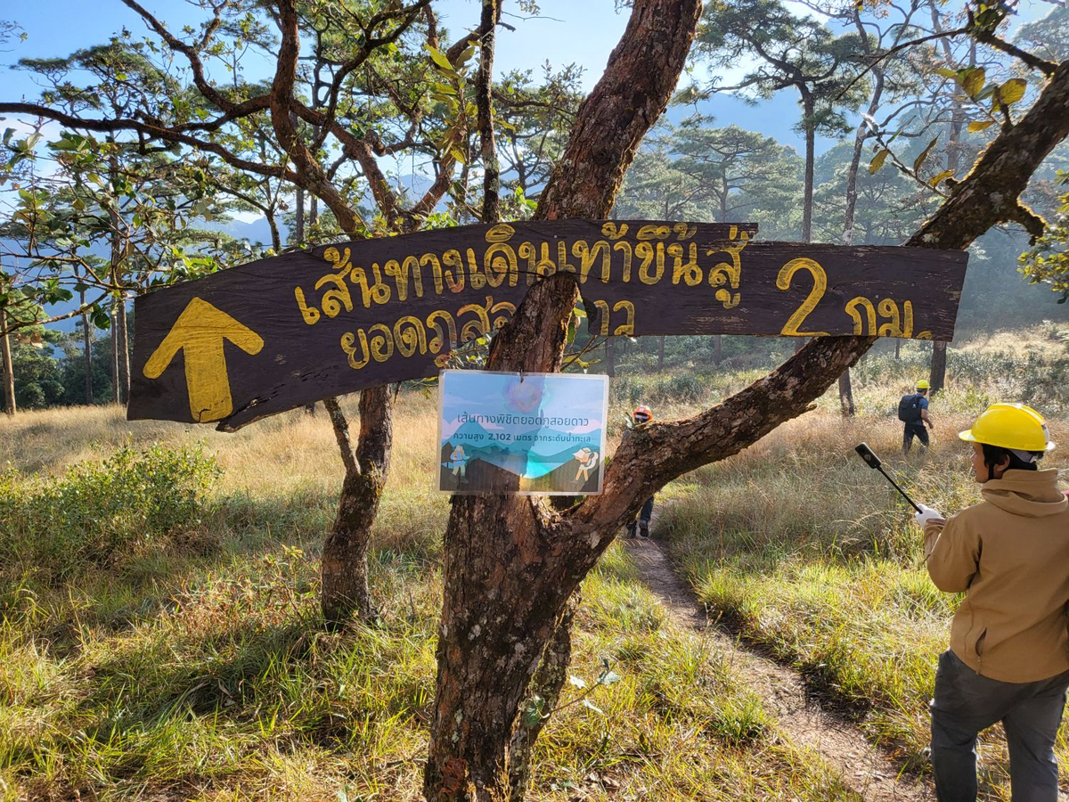
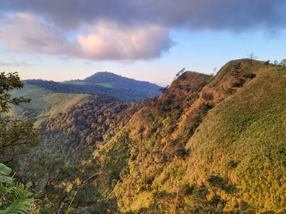
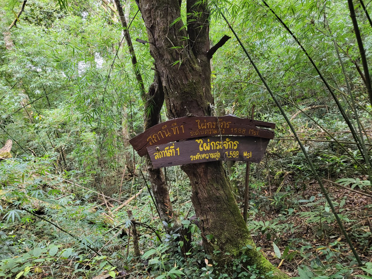
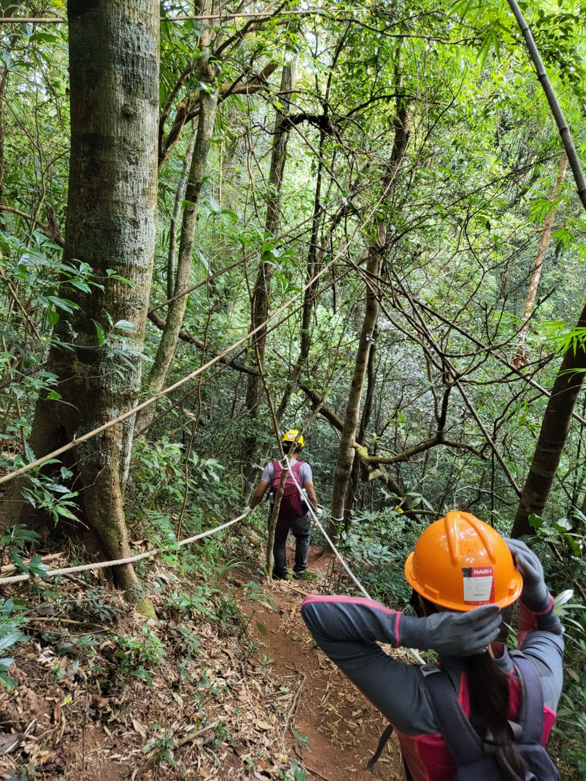
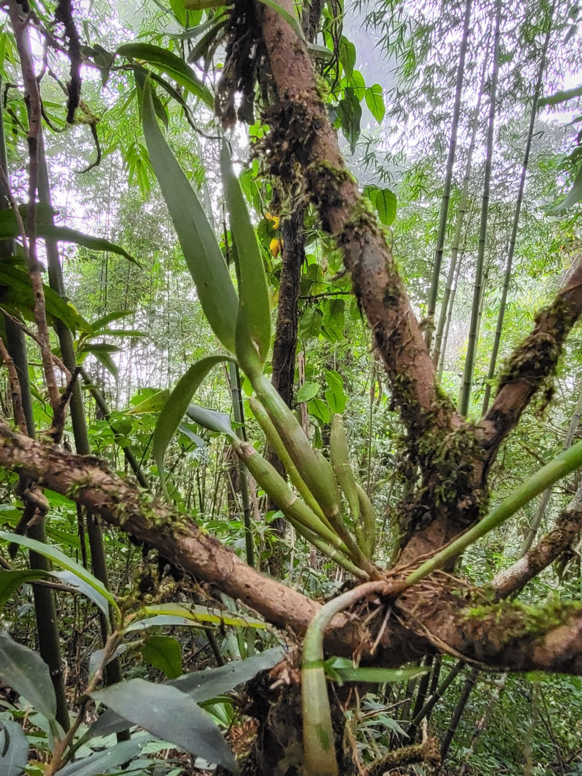
ปกติเส้นทางนี้จะไม่ได้ให้เดินเข้ามา ไม่มีป้ายใดๆ ยกเว้นป้ายห้ามเข้า พอมาถึงฤดูขึ้นยอด 2,102 เจ้าหน้าที่จะนำป้ายชั่วคราวมาติดไว้ตลอดทาง เพื่อให้นักท่องเที่ยวที่ลงจองขึ้นยอดได้เดินไปตามเส้นทางที่กำหนดไว้ ย้ำอีกครั้งว่า เส้นทางนี้เป็นเขตป่าค่อนข้างทึบ และเป็นเส้นทางตะเข็บชายแดนที่ใกล้ สปป.ลาวมาก ทางเจ้าหน้าที่ไม่อนุญาตให้เดินนอกเวลา 3 รอบนี้ พอเดินผ่านทุ่งโล่งมาได้ไม่นาน เข้าเขตป่าที่เริ่มมีต้นไม้ทึบแล้ว ไม่นานจะเจอป้ายสถานีที่ 1 ไผ่กงจักร จุดนี้ระดับความสูง 1,588 msl.
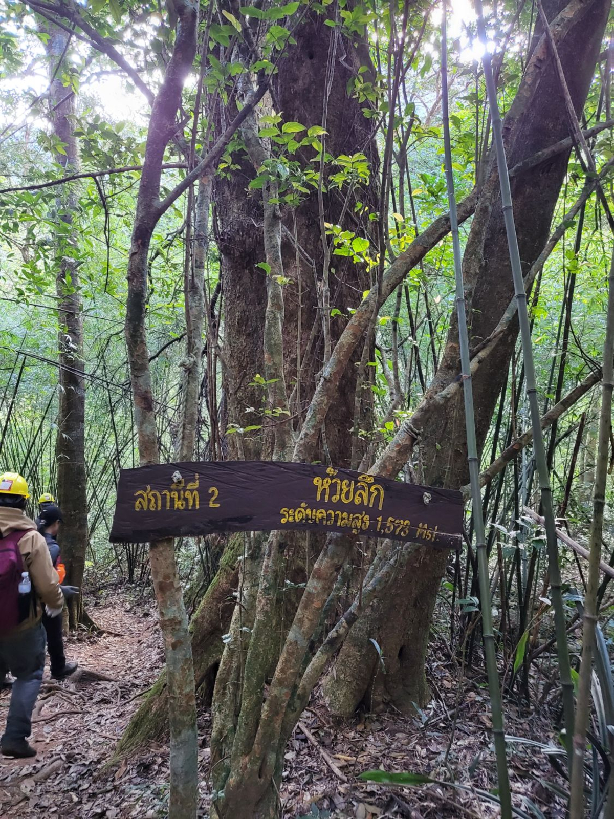
ไม่ไกลกันมากจะเจอป้ายสถานีที่ 2 ห้วยลึก ระดับความสูง 1,573 msl.
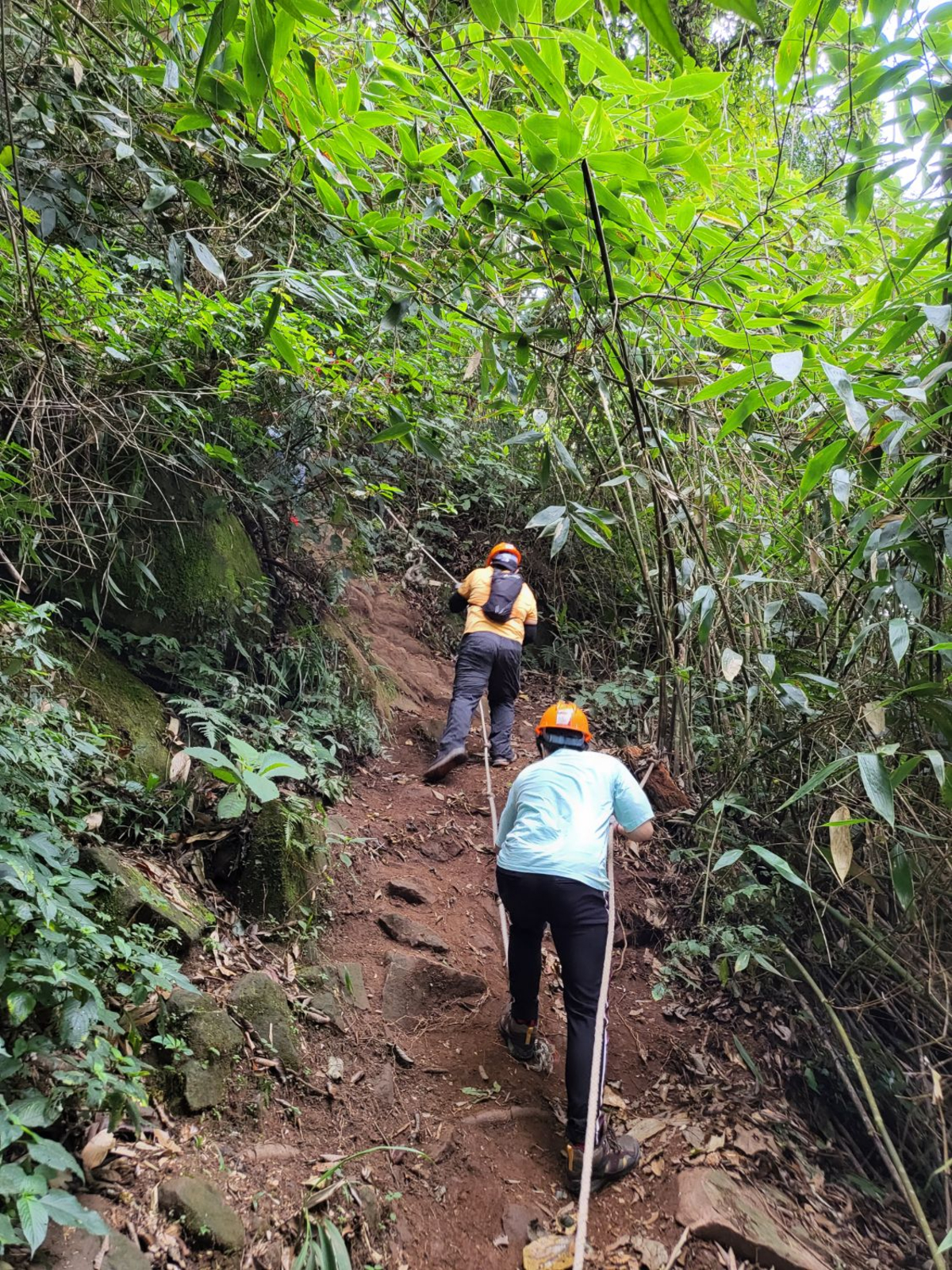
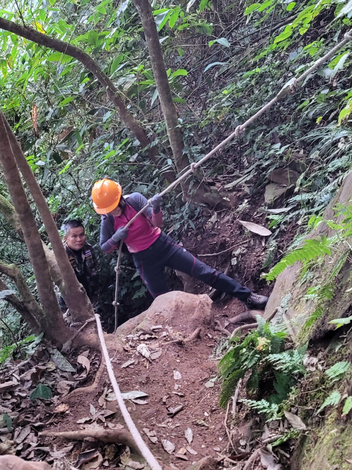
เริ่มมีเชือกให้ไต่แล้ว อุปกรณ์เซฟตี้ที่ให้มาเริ่มมีความสำคัญมากขึ้น
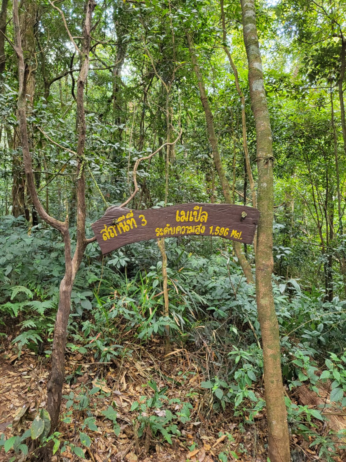
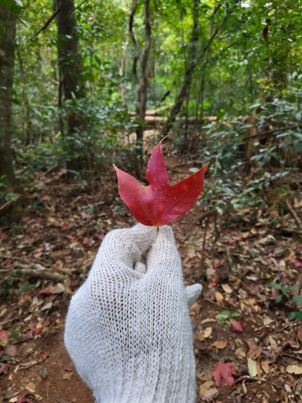
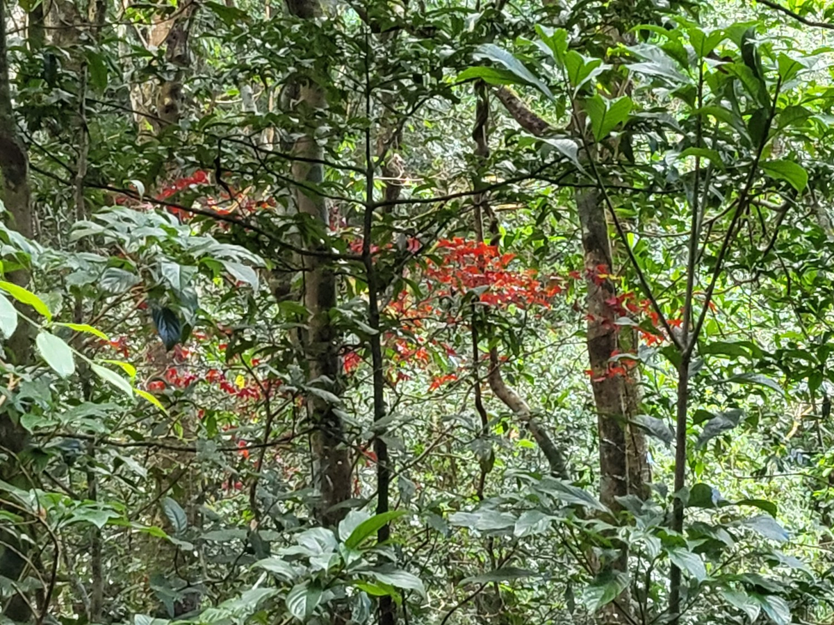
ไต่เชือกมาจะเจอป้ายสถานีที่ 3 เมเปิล ความสูง 1,596 msl. มีต้นเมเปิลที่จุดนี้เยอะ แต่อากาศปีนี้ไม่หนาวเลยไม่แดง
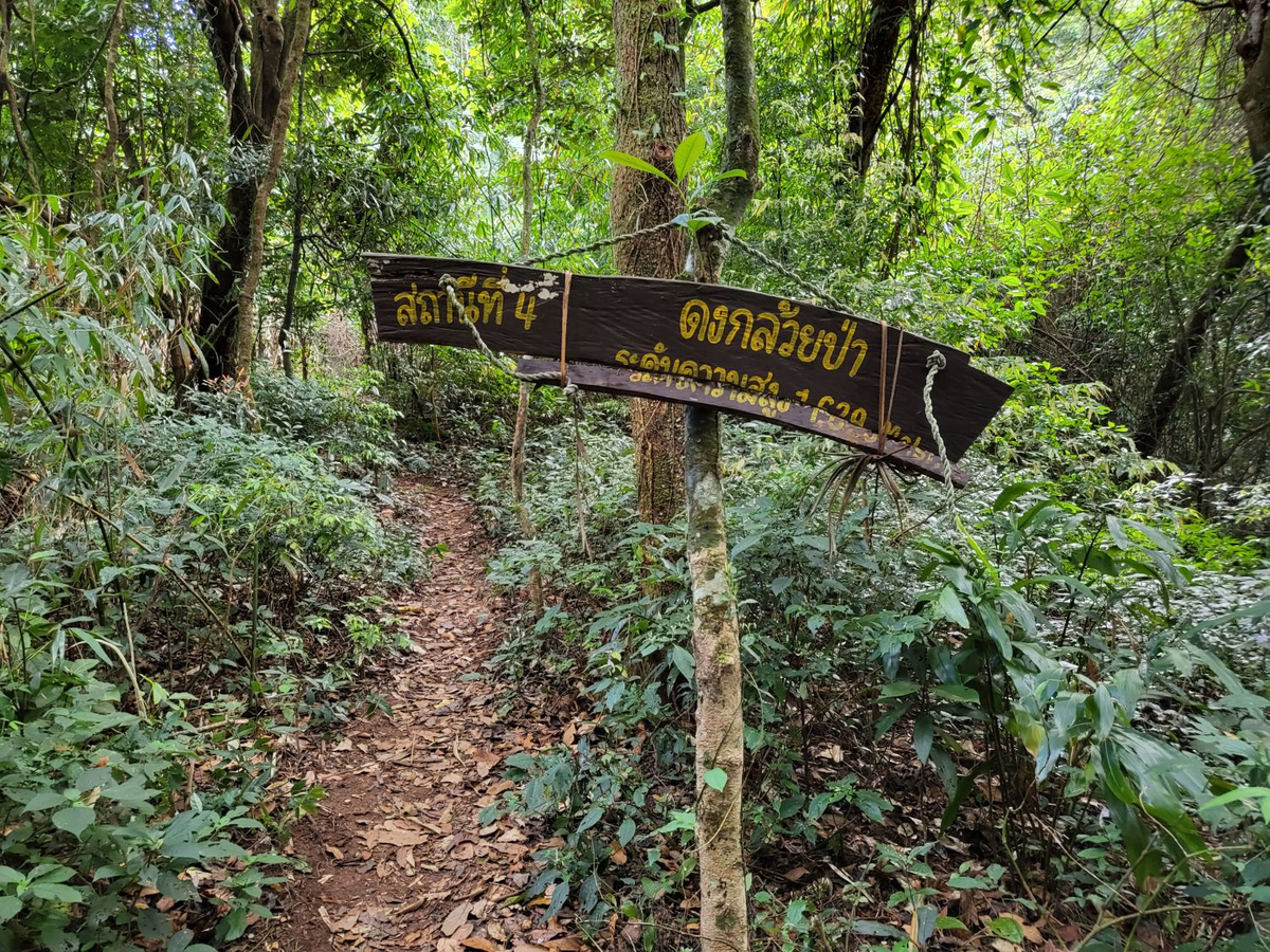
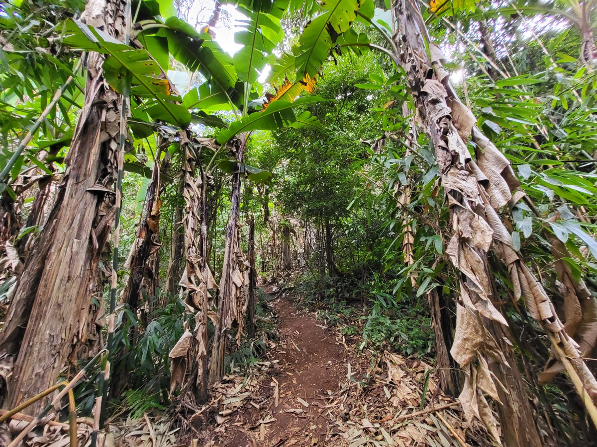
เดินต่อมาที่สถานีที่ 4 ดงกล้วยป่า ความสูง 1,629 msl.
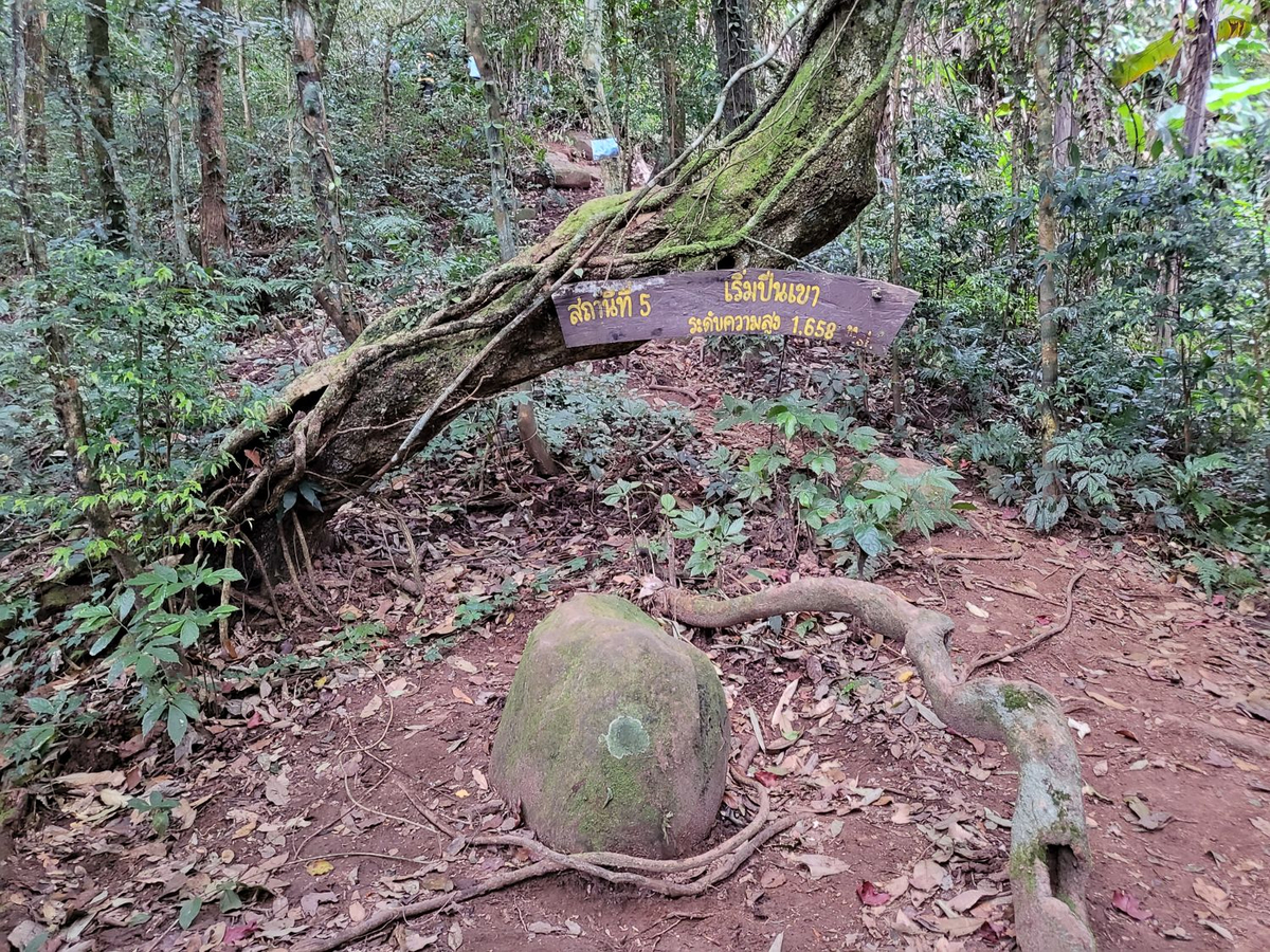
มาถึงสถานีที่ 5 เริ่มปีนเขา ความสูง 1,658 msl. ต่อจากนี้ไม่มีทางเดินง่ายๆ ราบเรียบแล้ว ขึ้นเขา ปีนเชือกยาวยันยอดเลย
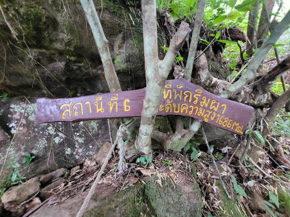
สถานีที่ 6 ที่พักริมผา ความสูง 1,686 msl. เป็นจุดที่ไต่มานั่งพักจริงๆ เพราะเริ่มต้องรอคนด้านหน้าแล้ว
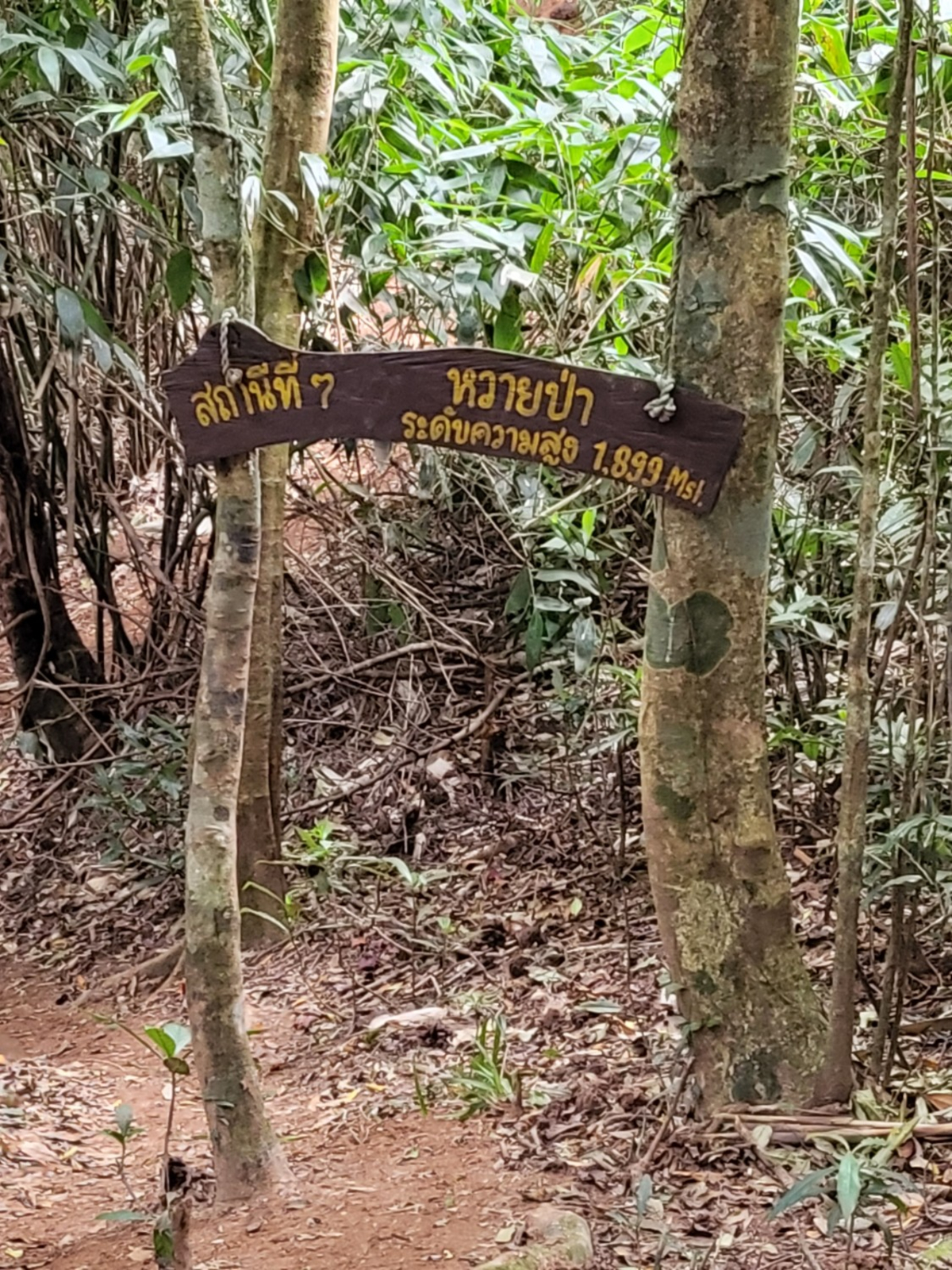
ปีนจุดสุดมาทางเรียบนิดหน่อยก็มาถึงสถานีที่ 7 หวายป่า ความสูง 1,899 msl.
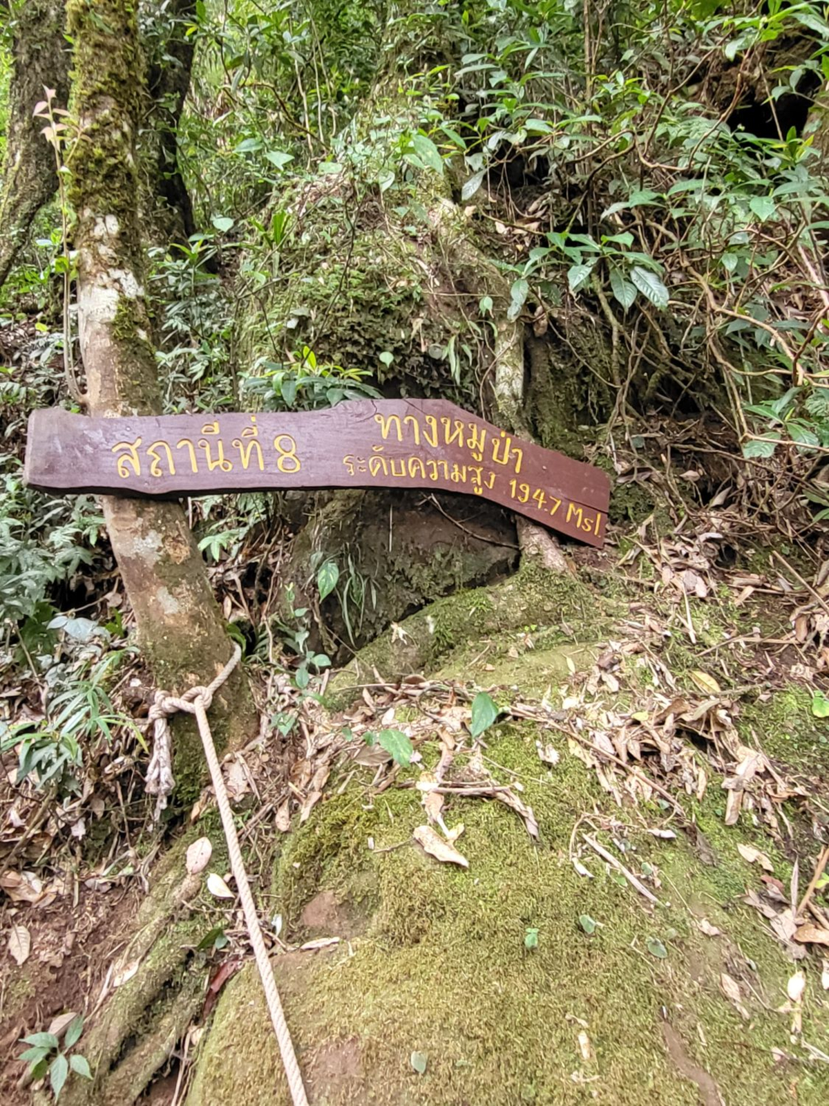
ปีนต่อเนื่องมาที่สถานีที่ 8 ทางหมูป่า ความสูง 1,947 msl. เริ่มมีคนที่ขึ้นถึงก่อนสวนลงแล้ว ต้องใช้ความระมัดระวังมากขึ้นจริงๆ ขอบคุณกลุ่มแรกที่ลงมาที่ให้กำลังใจกลุ่มสุดท้ายในการเดินขึ้นยอด
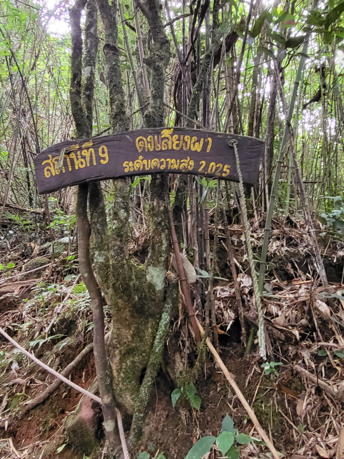
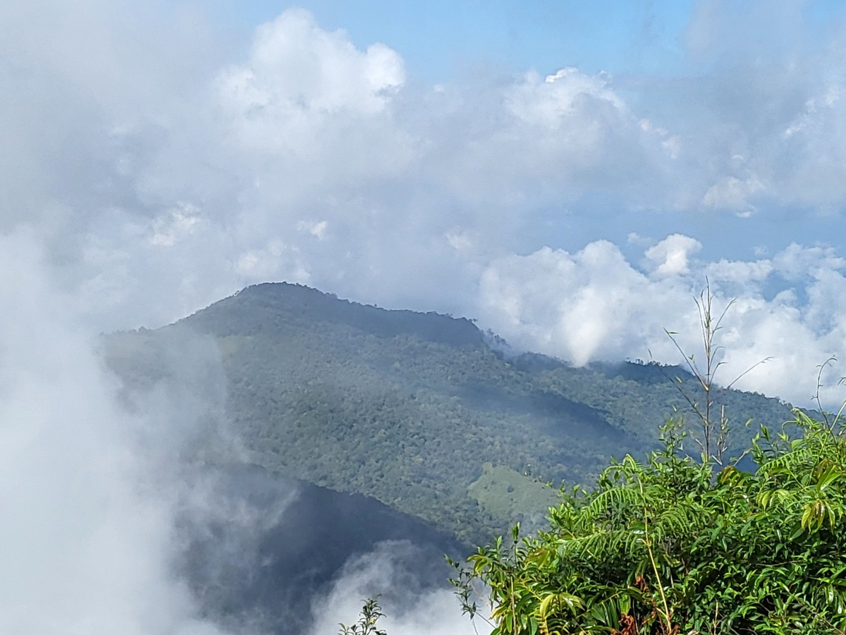
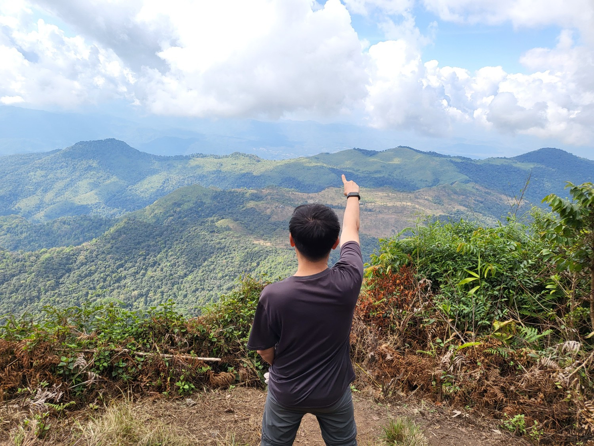
สถานีที่ 9 ดงเลียงผา ความสูง 2,025 msl. ตอนนี้เปียกทั้งตัวแล้ว เหนื่อยมากจริงๆ และชันมากที่สุดก็ที่สถานีที่ 9 จนถึงยอด ขอบคุณเจ้าหน้าที่อุทยานฯ ที่ตะโกนแจ้งคนด้านบนให้คนที่ขึ้นได้ขึ้นมาก่อนจะได้มีเวลาชมวิวมากหน่อย ขอบคุณนักท่องเที่ยวทุกคนที่รอให้กลุ่มสุดท้ายขึ้นก่อน ขอบคุณทุกคนที่ไม่เตะหินเล่นใส่คนที่กำลังขึ้น (ส่วนคนที่เตะลงมาเราเห็นการเตะนั้นชัดเจน มีแค่คนเดียวด้วย)
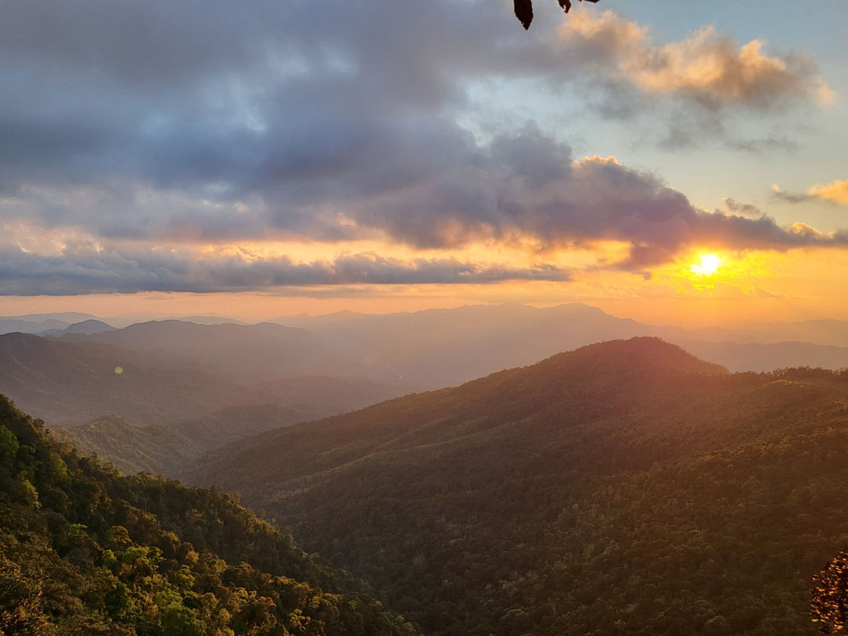
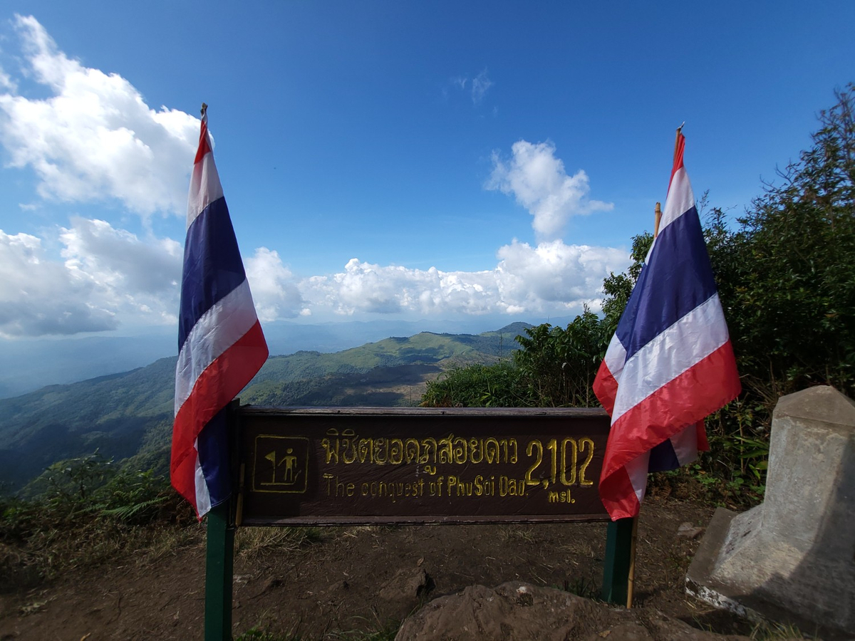
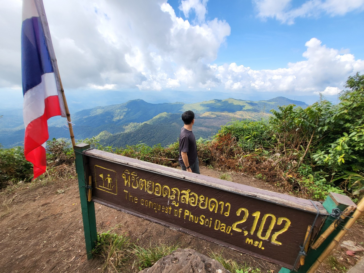
ก่อนถึงยอดจุดนั้นจะชันเกือบ 90 องศา โชคดีที่ปีนี้มีบันไดไม้แล้ว หลุดมาจะเป็นสถานีที่ 10 ยอดภูสอยดาว มาถึงตอนฟ้ายังไม่เปิดยัง WOW มาก หายเหนื่อยจริงๆ ลมดีมาก จากที่เปียกตั้งแต่หัวยันเท้าเริ่มแห้งบ้างแล้ว 3 ชั่วโมงในการเดิน ไต่เชือก คุ้มค่ามากจริงๆ
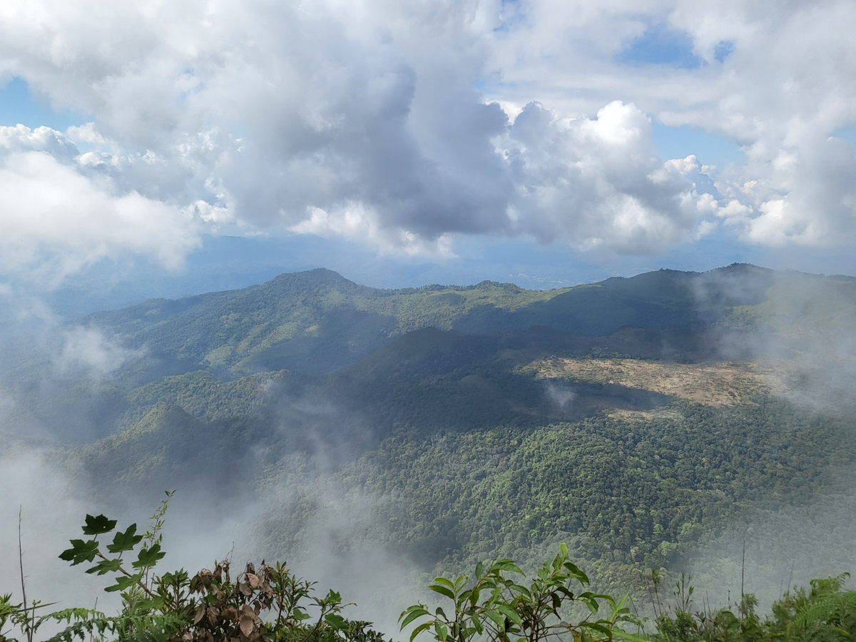
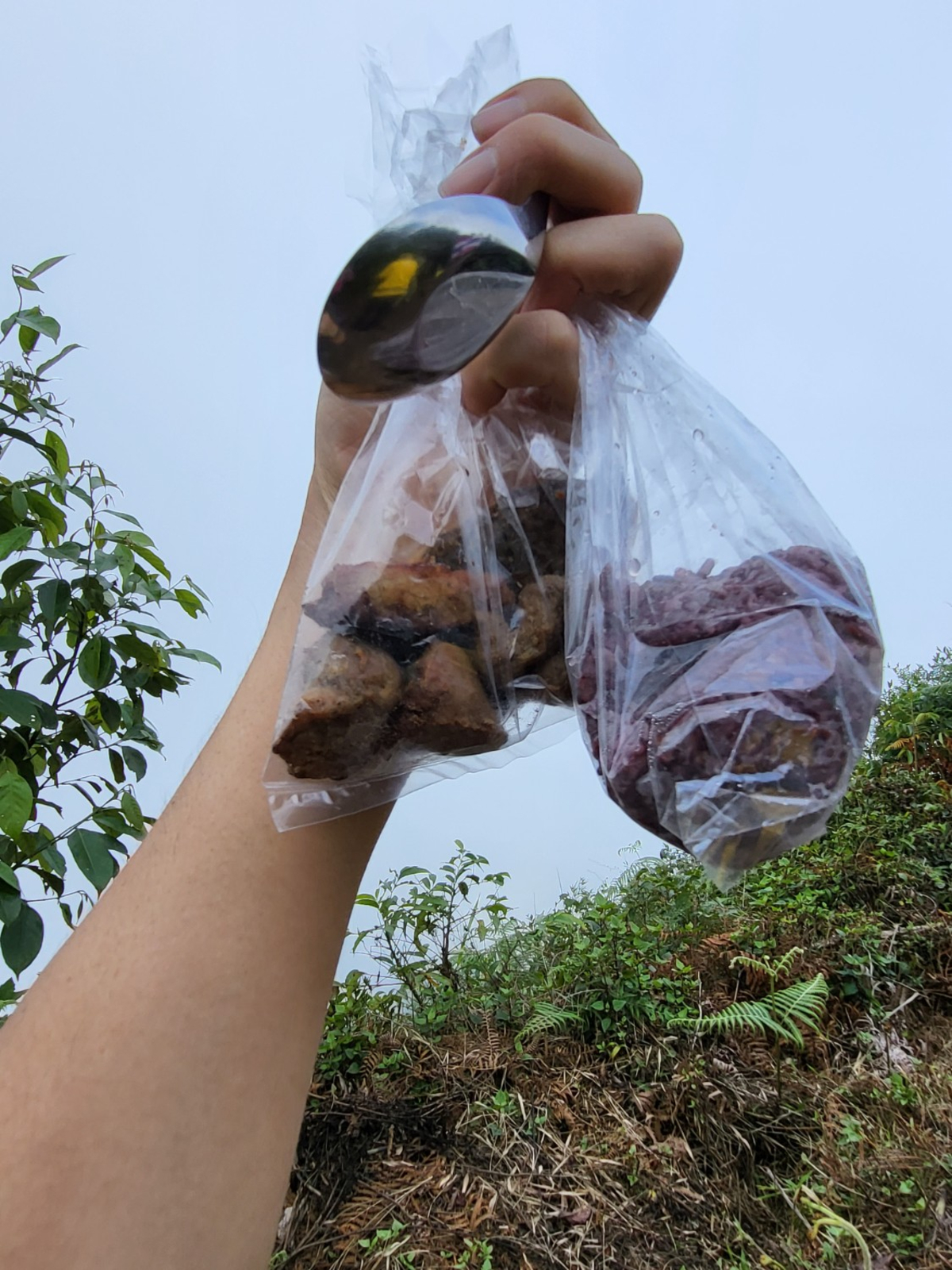
ระหว่างนั่งกินมื้อเที่ยงบนความสูง 2,102 msl. ก็รอฟ้าเปิดไปด้วย
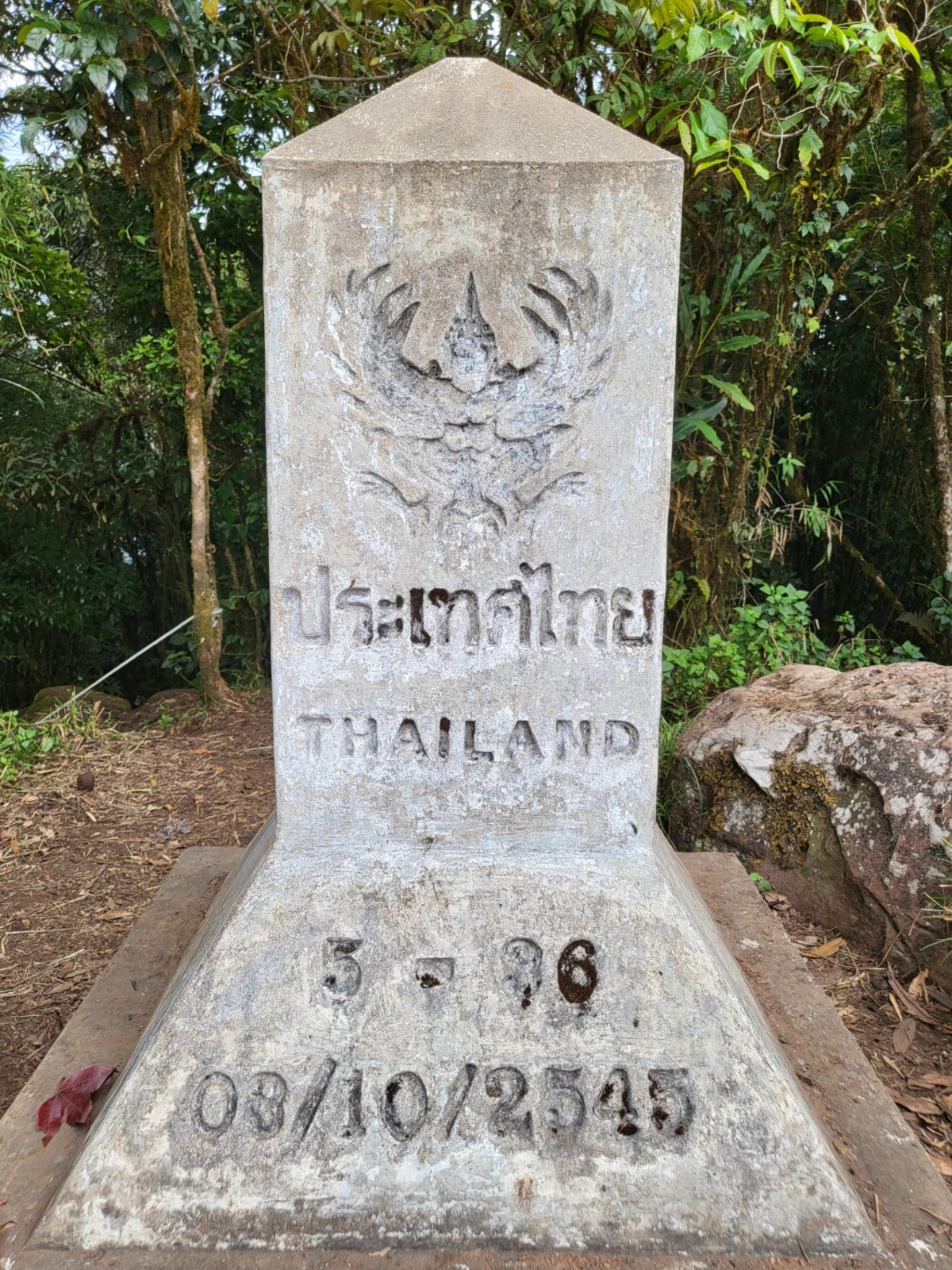
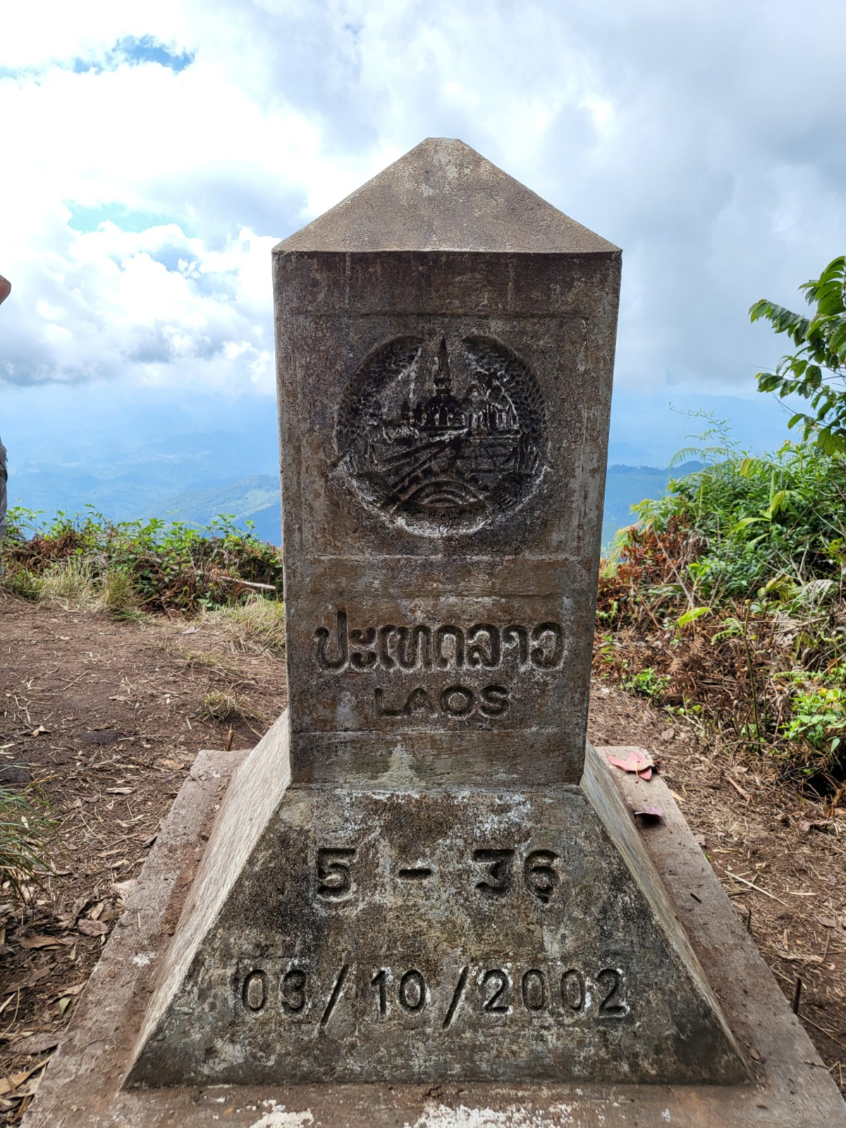
หลักหมุด 5-36
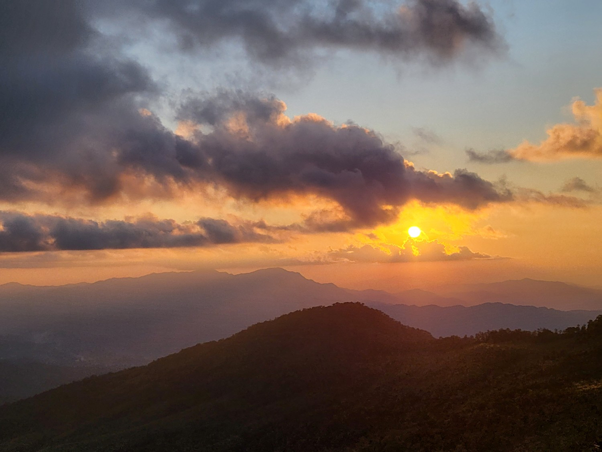
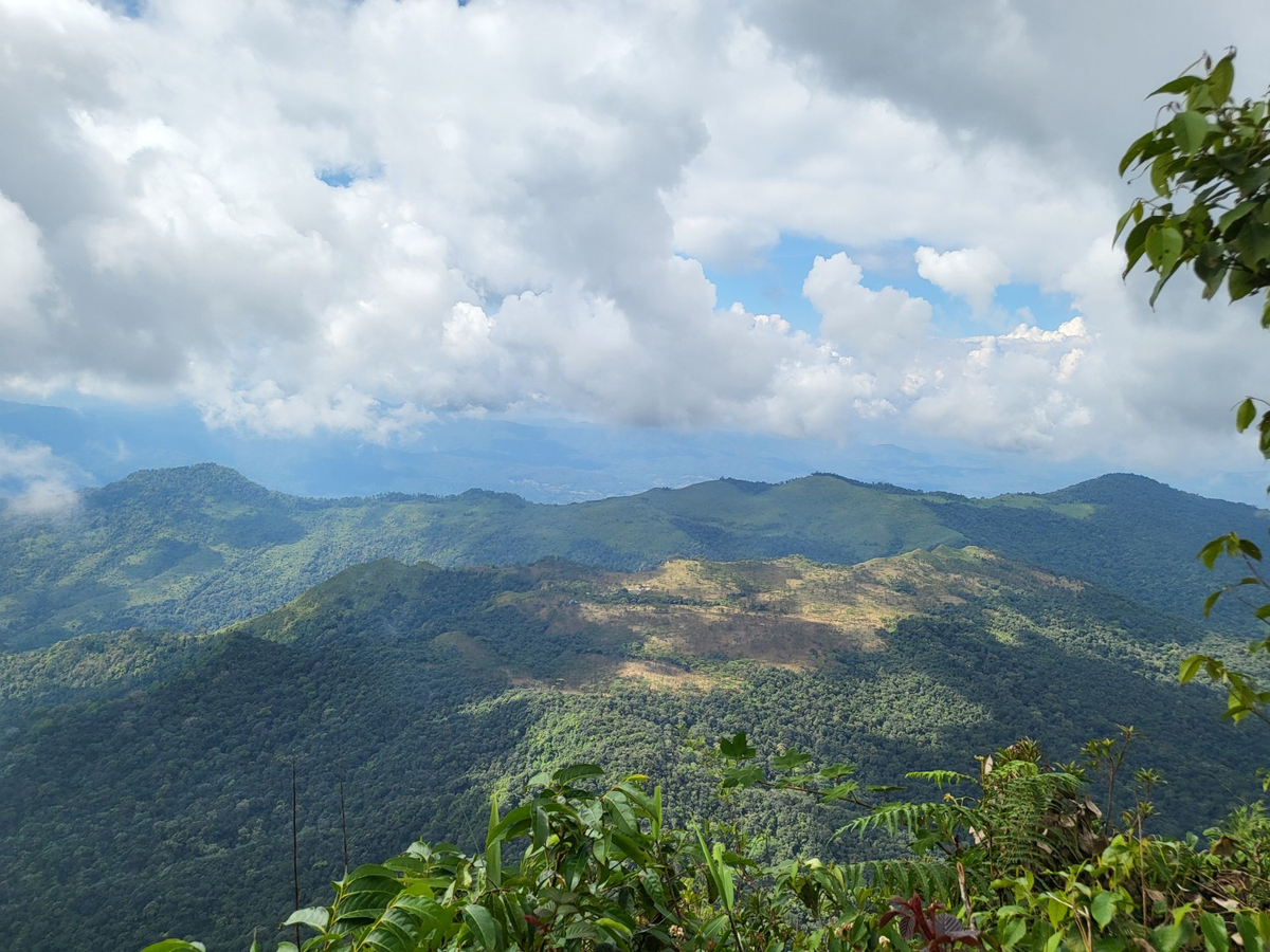
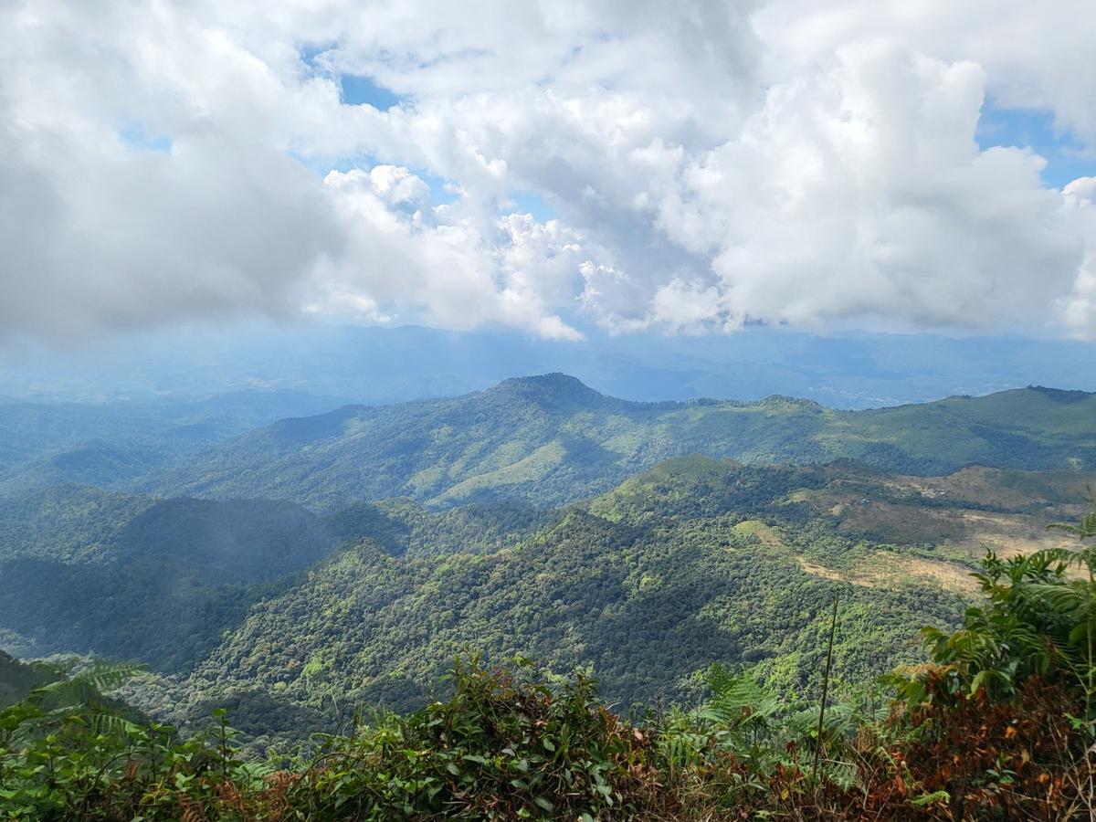
และแล้วธรรมชาติก็ใจดีกับกลุ่มสุดท้าย ฟ้าเปิดยาวๆ ได้ยินเสียงกล้องใหญ่สั่นชัตเตอร์ตอนฟ้าเปิดแล้วรู้สึกดีไปด้วย
ถึงเวลาลงแล้ว ขาลงเราว่าไหลง่ายมากกับคนใส่แค่รองเท้าวิ่งแบบเรา ส่วนชาวคณะนั้นรองเท้าปีนเขาทุกคนไม่มีใครลื่นเลย ขาลงเหนื่อยมาก ร้อนกว่าขาขึ้น ตลอดทางจนเกือบไม่ไหวต้องนั่งพักที่สถานีที่ 2 แต่พอพ้นเขตป่าลมมาแล้วดีมาก เดินสบายขึ้น ไปถึงศูนย์บริการนักท่องเที่ยวลานสน บ่าย 3 พอดี เหนื่อยแต่คุ้มมาก
สิ่งที่ต้องเตรียมไป
1. น้ำดื่ม สำคัญมากที่สุด ใครกินน้ำเยอะ ขี้ร้อน 2 ขวดก็ได้
2. ขนมที่ให้พลังงาน
3. อาหารเที่ยง คนเดินช้าจะได้ไม่หิวระหว่างทาง
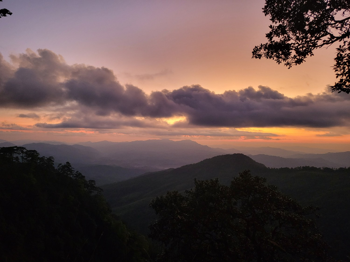
อาบน้ำ สระผม สบายตัวแล้วก็ออกมาเก็บแสงเย็นอีกสักวัน
มื้อเย็นวันนั้น อาหารเยอะมาก
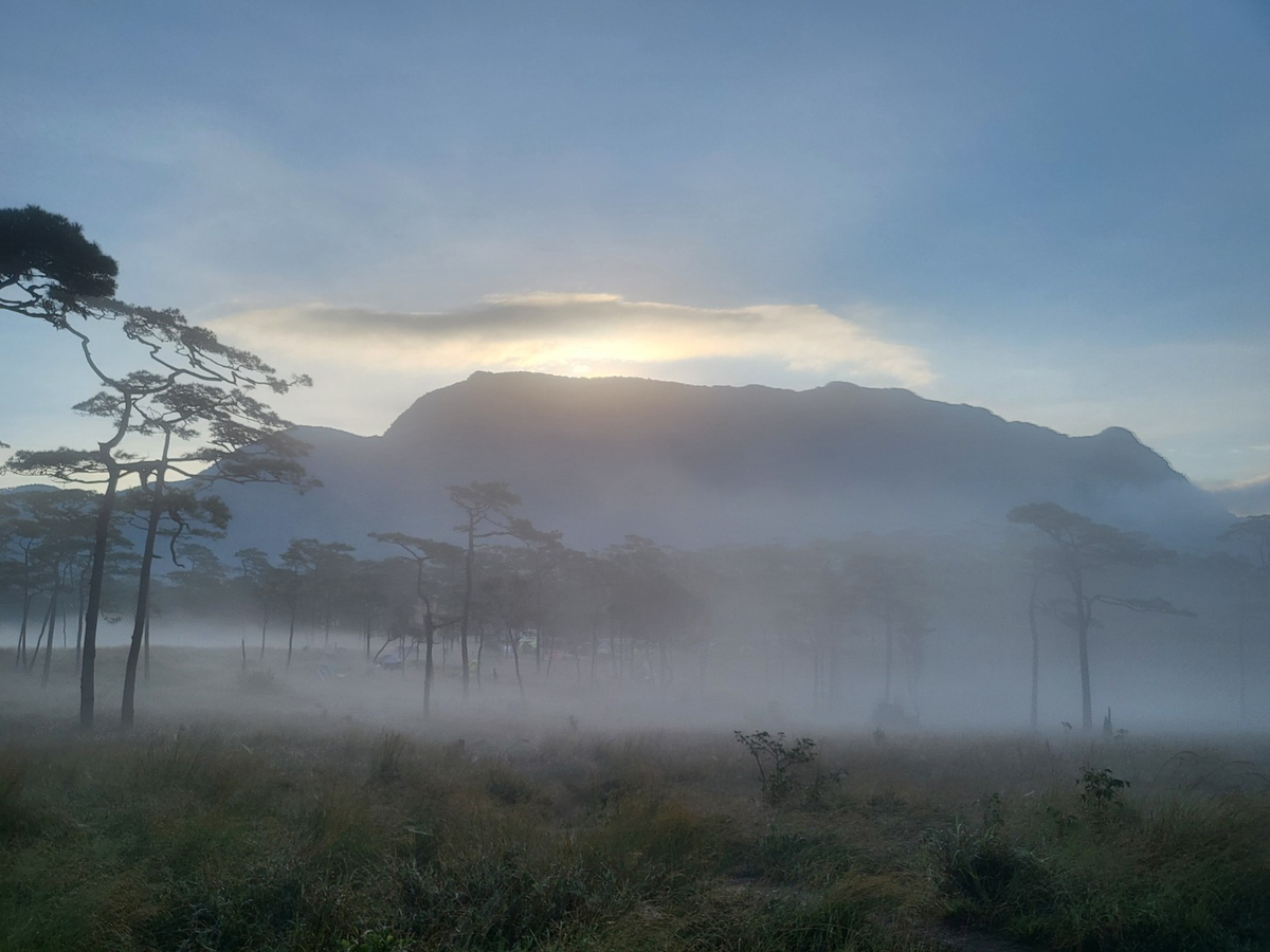
เช้าวันสุดท้ายก่อนลงก็เก็บภาพอีกเล็กน้อย

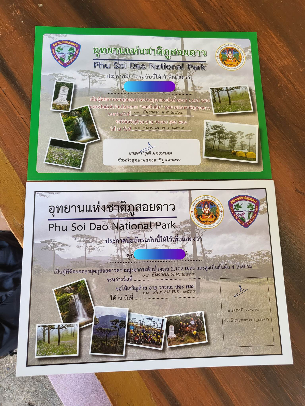
ลงมาถึงนำบัตรประชาชนไปขอรับประกาศนียบัตรที่ศูนย์บริการนักท่องเที่ยวได้เลย รวมอยู่ในค่าธรรมเนียมการขึ้นยอด 500 บาทแล้ว
พอได้มาเดินขึ้นยอดภูสอยดาวเองถึงเข้าใจข้อห้ามของทางอุทยานแห่งชาติภูสอยดาวอย่างแจ่มแจ้ง ทางเดินง่ายๆ มีแค่ตอนเริ่มต้นเท่านั้น ถ้าไม่ใช่ฤดูขึ้นยอด เส้นทางนี้จะไม่เห็นทางเดินชัดเจน ไม่มีป้ายระหว่างทาง ไม่มีเชือกให้เราปีน ไม่มีบันไดตรงจุดที่ชันที่สุดก่อนขึ้นยอด ไม่มีอุปกรณ์เซฟตี้ และที่สำคัญไม่มีเจ้าหน้าที่นำทาง และอำนวยความสะดวกในจุดเสี่ยงต่างๆ
ทริปนี้ต้องขอบคุณเจ้าหน้าที่อุทยานแห่งชาติภูสอยดาวทุกท่านที่อำนวยความสะดวก ดูแลความปลอดภัย อุปกรณ์ทำแผล และการดูแลเป็นพิเศษกับคณะหัวแตกที่มา 2 ครั้งในปีนี้ก็หัวแตกทั้ง 2 ครั้ง
ตะลุยเดี่ยวแบกเป้เที่ยว
วันจันทร์ที่ 26 ธันวาคม พ.ศ. 2565 เวลา 01.47 น.