

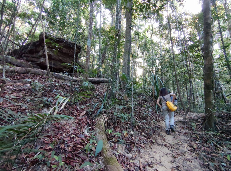
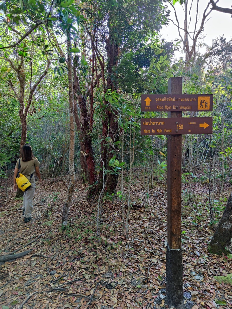
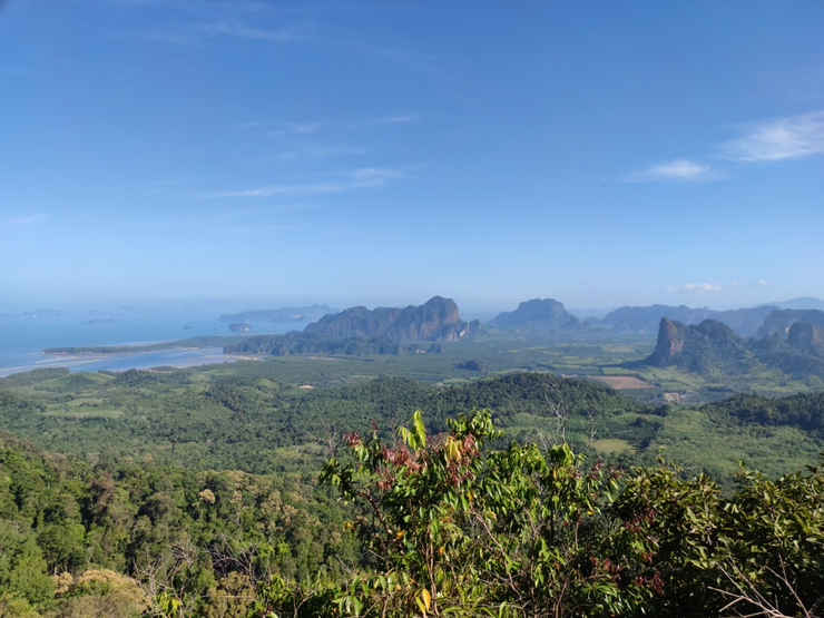
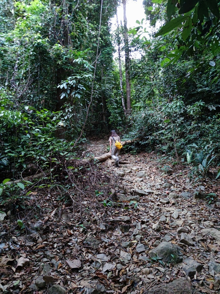
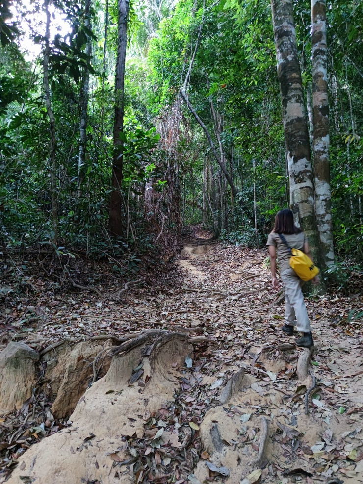
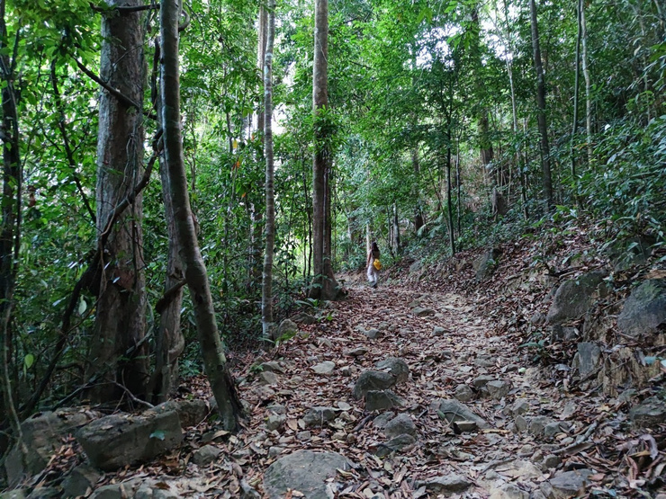
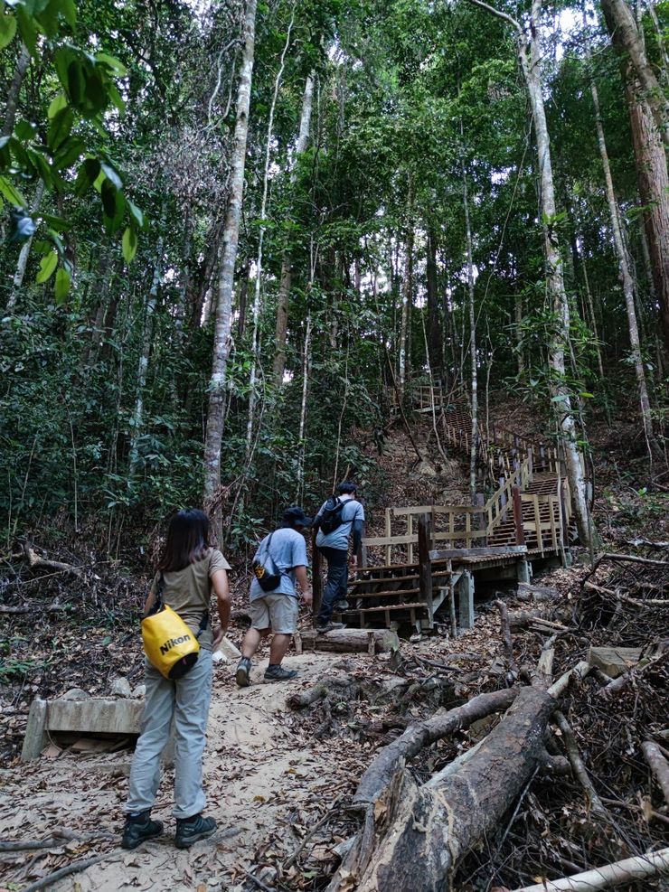
เขาหงอนนาค เป็นเส้นทางการศึกษาธรรมชาติ และการผจญภัย ในป่ามีความสมบูรณ์ และความหลากหลายทางชีวภาพ ตลอดเส้นทางที่เดินขึ้นไปเพื่อสู่จุดชมวิวขนยอดเขา ที่มีระยะทางประมาณ 3.7 กิโลเมตร อุทยานฯ จะตั้งอยู่สุดทางของถนนเส้นนี้พอดี
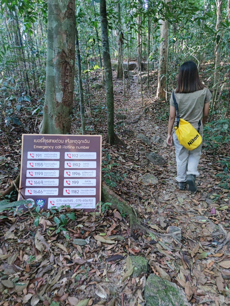
- ก่อนเดินทางขึ้นเขาหงอนนาค ควรเตรียมเสบียง + น้ำดื่ม ให้เพียงพอ
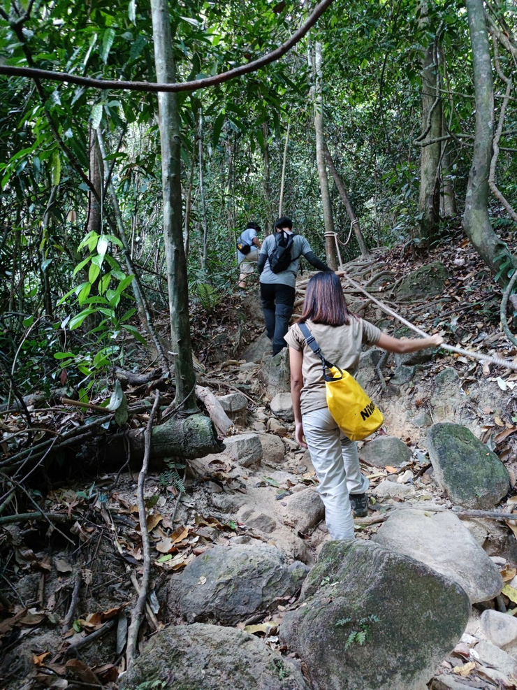
- สภาพร่างกายต้องแข็งแรง ไม่มีโรคประจำตัว
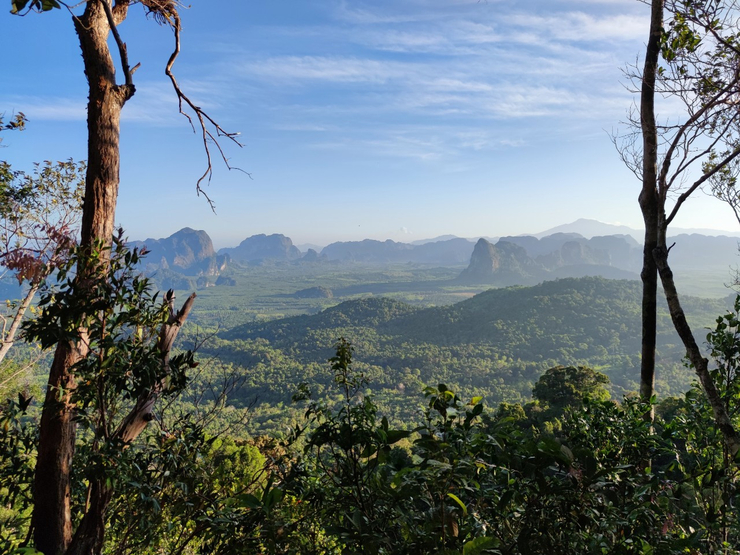
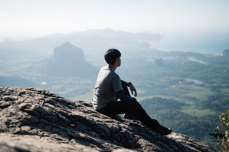
- ช่วงเวลาที่เหมาะ คือ ช่วงพระอาทิตย์ขึ้น และ พระอาทิตย์ตก จะพบกับวิวทิวทัศน์ที่สวยงาม
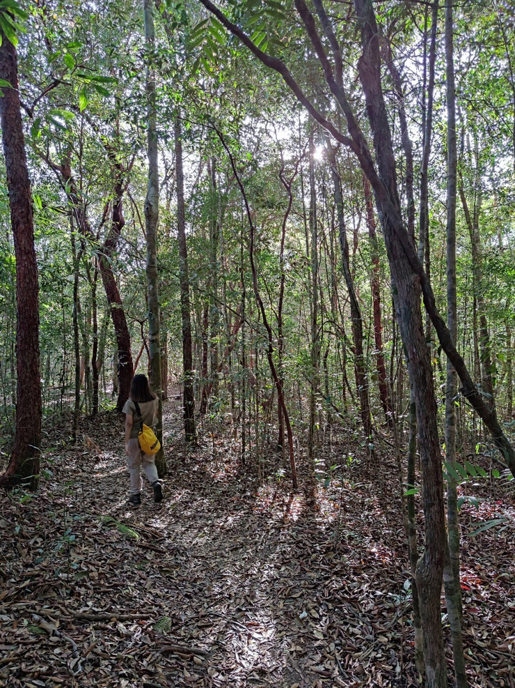
- สามารถ ขึ้น-ลง ภายในวันเดียว ไม่จำเป็นต้องให้เจ้าหน้าที่เดินนำทางก็ได้ วันเดียวเดินขึ้นลงก็ได้ หรือ มาคนเดียวก็เดินเองได้
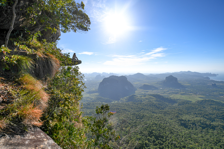
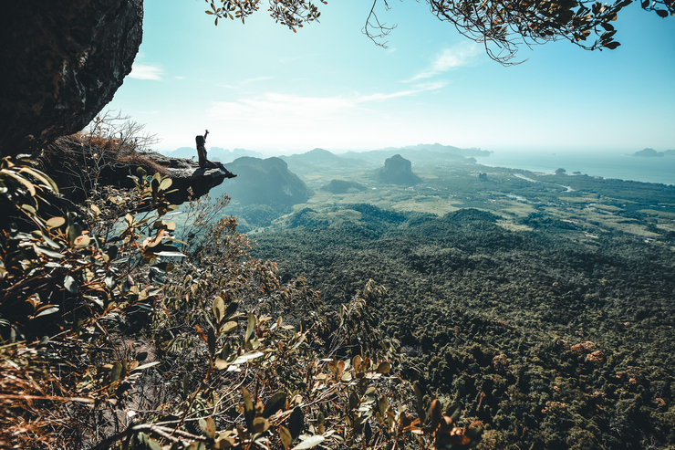
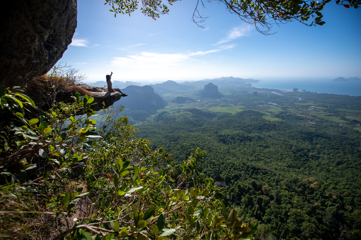
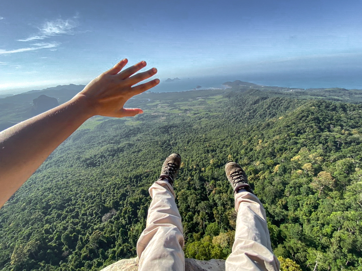
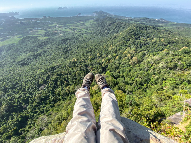
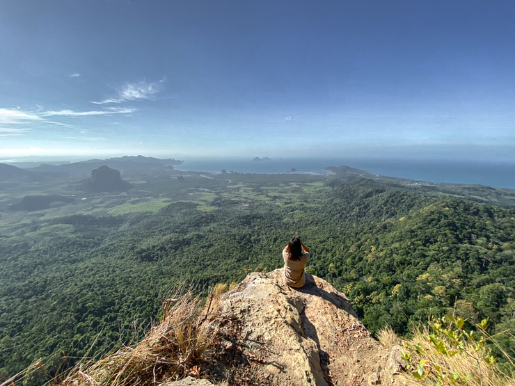
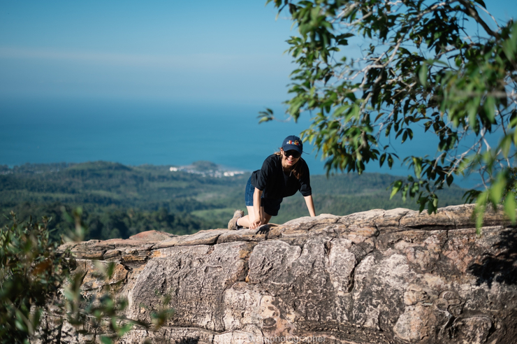
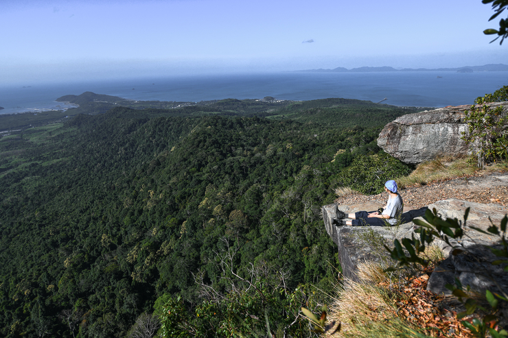
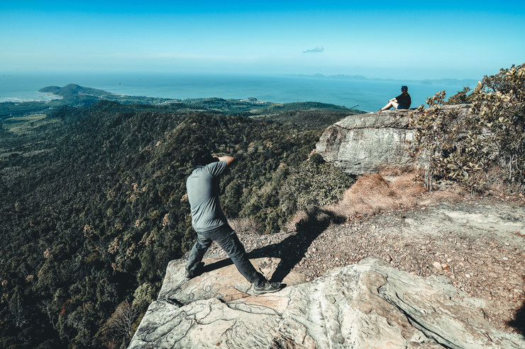
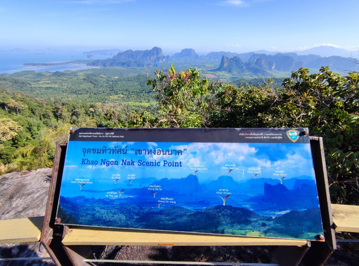
- ก้อนหินที่ยื่นออกไปกลางหน้าผา ถือว่าเป็นไฮไลท์สำคัญ เป็นมุมถ่ายภาพเด็ดๆ ที่ใครมาต้องมาถ่ายรูปที่มุมนี้เป็นที่ระลึก
- ช่วงเวลาที่ดีที่สุดของการไปชม เริ่มตั้งแต่ปลายเดือนพฤศจิกายนถึงพฤษภาคม
ในช่วงเวลาเช้าราว 06.30 น. ถึง 07.30 น. ช่วงเวลาเย็นราว 18.00 น. ถึง 19.00 น.
-----------------------
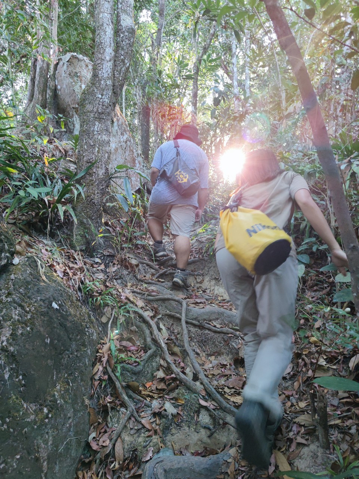
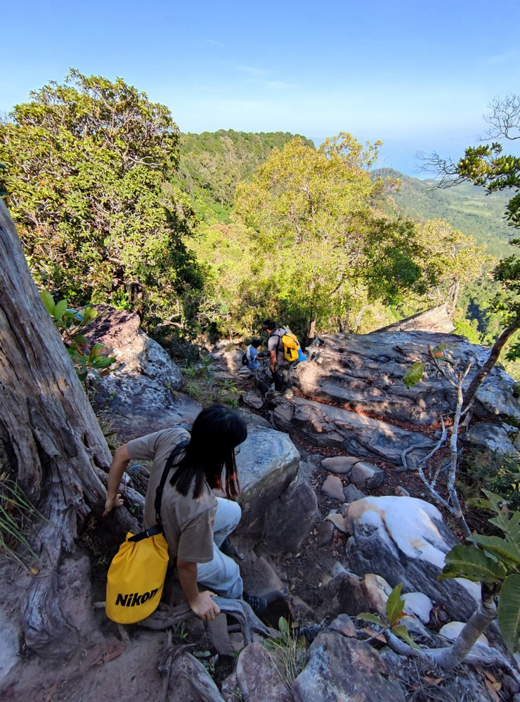
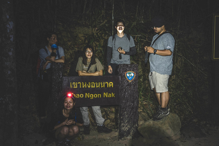
เริ่มเดินกันตอนตี 5


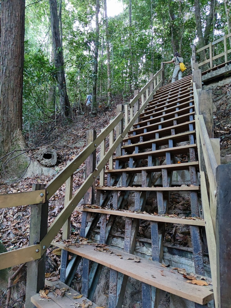

ตอนแรกนึกว่าถึงแล้ว แต่ยังไปต่ออีก
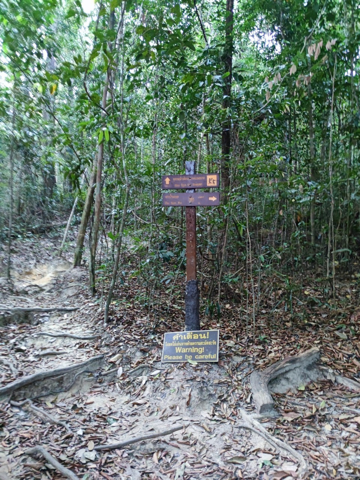
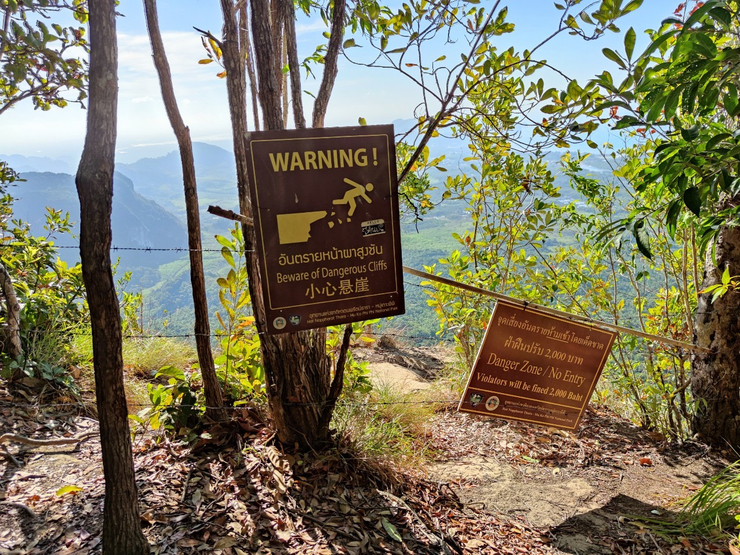
ตรงจุดนี้ป้ายบอกว่าห้าม แต่ก็มีทางเล็ก พร้อมเชือกไว้ให้จับกันตก
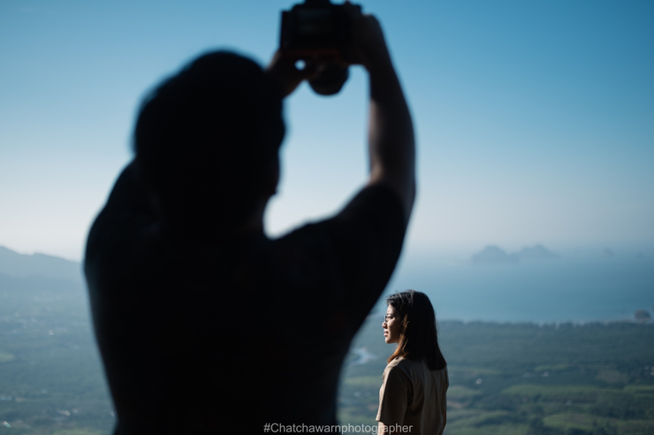
ภาพที่ได้ก็จะประมาณนี้ คนถ่ายต้องเดินไปถ่ายจากอีกมุมหนึ่ง
ที่ได้ชื่อว่าเขาหงอนนาค เพราะมีความเชื่อว่าพื้นที่ละแวกนี้มีความเกี่ยวข้องกับพญานาค ทั้งเขาหงอนนาค หนองทะเล
และเขาแหลมหางนาค โดยมีสิ่งที่น่าสนใจอยู่ตรงน้ำตานาค มีลักษณะเป็นบ่อน้ำขนาดเล็ก มีน้ำใสไหลตลอดปี
ตั้งอยู่บนเขาหงอนนาค บริเวณคลองม่วง ชาวบ้านเชื่อว่าหากได้มาดื่มน้ำจะช่วยให้สมปรารถนา และเป็นสิริมงคล
นอกจากนี้ยังมีสะดือนาค มีลักษณะเช่นเดียวกับน้ำตานาค โดยมีการเชื่อมต่อตามแนวภูเขา
ซึ่งเชื่อว่าเป็นลำตัวพญานาคทอดยาว
ขาลง
----------------------------------------
สอบถามข้อมูลเพิ่มเติม อุทยานแห่งชาติหาดนพรัตน์ธารา-หมู่เกาะพีพี
โทร. 0 7563 7200 (งานบ้านพัก), 0 7566 1145, 0 7563 7436

Mint Septidkhao
วันอาทิตย์ที่ 14 มีนาคม พ.ศ. 2564 เวลา 09.27 น.